Witch Hunts · Renaissance
Hexentanzplatz Stadtkyller Heide


Description
This description is only available in German.
Translate with Google opens this page in Google Translate (external service)
Circa 250 Meter nördlich des Heidehofes auf Höhenpunkt 537,0. In der unmittelbarer Nachbarschaft des Hochgerichts Stadtkyll. (s. eigener Datensatz)
Als Hochgerichtsplatz ist Stadtkyll bereits im 13. Jahrhundert nachgewiesen.
Hexenprozesse gab es hier in der Zeit von 1580 bis 1633.
Classification
- Subject area
- History
- Category
- Legal Monuments
- Object type
- Witch Hunts
- Date
- 1580
- Period
- Renaissance
Location
- District
- Vulkaneifel
- Collective municipality
- Gerolstein
- Municipality
- Stadtkyll
- Field name
- Auf der Niederkyllerheid
- Coordinates
- WGS 84: 50.363636, 6.536859 (Position: exact) WGS 84: 50° 21′ 49.1″ N, 6° 32′ 12.7″ E UTM 32 (ETRS89): E 324819 · N 5581963
Sources
Data sources
- Adolf Kettel: Hexenprozesse in der Grafschaft Gerolstein. In: Hexenglaube und Hexenprozesse im Raum Rhein-Mosel-Saar. Bd. 1. Hrsg. G. Franz und F. Irsigler. Spee-Verlag Trier 1996. ISBN 3-87760-123-5
On the internet
Picture credits
Last edited: 29 Aug 2006 Object ID: 6172
https://kulturdb.de/en/objekt/6172-stadtkyll-hexentanzplatz-stadtkyller-heide
Nearby
The nearest objects
 370 m
Surveying
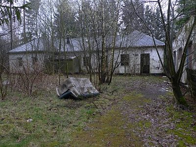
Ehemalige Decca-Station
 540 m
Legal Monuments
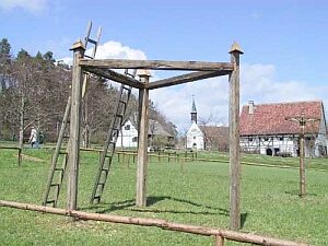
Hochgericht Stadtkyll
Wayside Shrines and Stations of the Cross
Wegekreuz an der Landesstraße 24
Field Names
Auf der Wasserdell
Deserted Settlements
Wüstung Niederlinzfeld
 1.1 km
Chapels
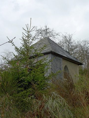
Lambertus-Kapelle
Field Names
Am Lachrech
Mills