Wayside Shrines and Stations of the Cross · Historicism / Art Nouveau
Wegekreuz an der Landesstraße 24
- Listed monument


© GeoBasis-DE / LVermGeoRP, dl-de/by-2-0
There is no picture of this object yet. Do you have a photo that you would like to make available to the Kulturdatenbank? Submit a picture
Description
This description is only available in German.
Translate with Google opens this page in Google Translate (external service)
Das Kreuz aus rotem Sandstein erhob sich 40 Zentimeter über dem Boden und erinnerte an ein Unglück, das sich im Jahre 1885 ereignete. An dieser Stelle verunglückte ein Fuhrmann namens Grün aus Dahlem tödlich. Von Dahlem transportierte man täglich Eisenerz zum Jünkerather Hüttenwerk. Dazu benutzte man zweirädrige Karren. Die abschüssig ins Kylltal verlaufende Straße war für solche Transporte ungeeignet. Fuhrmann Grün saß auf seinem Karrengestell hinter seinem Pferd. Plötzlich fiel er vom Gestell und wurde von der Karre überrollt und tödlich verletzt. [1]
Classification
- Subject area
- Architectural and Art Monuments
- Category
- Religious Buildings
- Object type
- Wayside Shrines and Stations of the Cross
- Date
- 1885
Location
- District
- Vulkaneifel
- Collective municipality
- Gerolstein
- Municipality
- Stadtkyll
- Locality / location
- Hardhof
- Field name
- Auf der Heide
- Coordinates
- WGS 84: 50.361384, 6.529779 (Position: exact) WGS 84: 50° 21′ 41.0″ N, 6° 31′ 47.2″ E UTM 32 (ETRS89): E 324307 · N 5581730
Sources
Data sources
- [1] Heimatjahrbucharchiv Landkreis Daun. Hubert Pitzen, Stadtkyll: Auf Spurensuche in einem Grenzgebiet.
On the internet
Last edited: 3 Feb 2006 Object ID: 10805
https://kulturdb.de/en/objekt/10805-stadtkyll-wegekreuz-an-der-landesstrasse-24
Nearby
The nearest objects
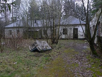 310 m
Surveying
Ehemalige Decca-Station
Field Names
Im Wolf
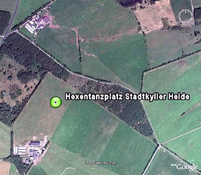 560 m
Witch Hunts
Hexentanzplatz Stadtkyller Heide
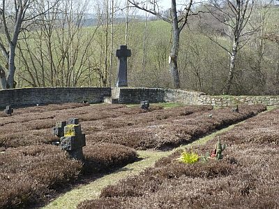 580 m
War Cemeteries
Ehrenfriedhof - Hochkreuz
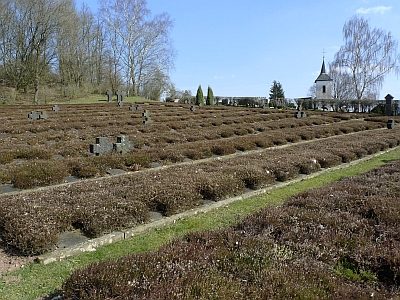 690 m
War Cemeteries
Ehrenfriedhof
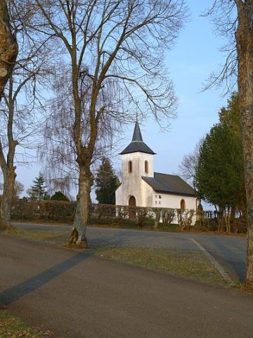 700 m
Pilgrimage Sites
Margarethenkapelle
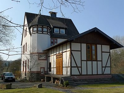 780 m
Railways
Ehemaliger Bahnhof mit Güterschuppen
Wayside Shrines and Stations of the Cross