Burial Mounds · Celtic / Roman Period
Römische Gräber
- Listed monument


© GeoBasis-DE / LVermGeoRP, dl-de/by-2-0
There is no picture of this object yet. Do you have a photo that you would like to make available to the Kulturdatenbank? Submit a picture
Classification
- Subject area
- Archaeological Monuments
- Category
- Burials
- Object type
- Burial Mounds
- Date
- Circa 500 vor Chr. bis circa 500 nach Chr.
- Period
- Celtic / Roman Period
Location
- District
- Eifelkreis Bitburg-Prüm
- Collective municipality
- Südeifel
- Municipality
- Wallendorf
- Street
- Castellweg
- Field name
- Kleik
- Coordinates
- WGS 84: 49.871445, 6.292639 (Position: presumed) WGS 84: 49° 52′ 17.2″ N, 6° 17′ 33.5″ E UTM 32 (ETRS89): E 305467 · N 5527853
Sources
Data sources
- Führer zu den vor- und frühgeschichtlichen Denkmälern.Band 33. Südwestliche Eifel. Hrsg.: Römisch-Germanisches Nationalmuseum, Mainz; 1977. ISBN 3-8053-0302-5
On the internet
Last edited: 7 Jul 2006 Object ID: 11142
https://kulturdb.de/en/objekt/11142-wallendorf-roemische-graeber
Nearby
The nearest objects
 50 m
Historic Townscapes
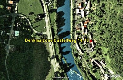
Denkmalzone Castellweg 14-16
No picture
100 m
Wayside Shrines and Stations of the Cross
Schaftkreuz von 1733
No picture
200 m
Mills
Wallendorfer Mühle
 320 m
Observation Towers
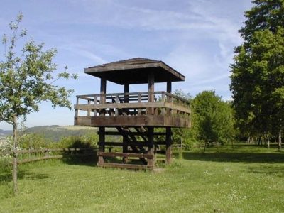
Aussichtsturm am Sportplatz
No picture
320 m
Cremation Graves
Römische Gräber
No picture
420 m
Road Transport
Steinerne Brückenreste
No picture
460 m
Fortresses and Bunkers
Sogenannter Hitler-Bunker
No picture
490 m
Burial Mounds