Mills · Gothic
Wallendorfer Mühle


© GeoBasis-DE / LVermGeoRP, dl-de/by-2-0
There is no picture of this object yet. Do you have a photo that you would like to make available to the Kulturdatenbank? Submit a picture
Description
This description is only available in German.
Translate with Google opens this page in Google Translate (external service)
Die Mühle soll aus dem 14. Jahrhundert stammen. Bis 1945 wurde Getreide gemahlen und Strom für den Eigenbedarf produziert. Seit Jahrzehnten ist die Mühle ungenutzt. [1]
Classification
- Subject area
- Architectural and Art Monuments
- Object type
- Mills
- Date
- 14. Jahrhundert
- Period
- Gothic
Location
- District
- Eifelkreis Bitburg-Prüm
- Collective municipality
- Südeifel
- Municipality
- Wallendorf
- Field name
- Ortslage
- Coordinates
- WGS 84: 49.869696, 6.293020 (Position: exact) WGS 84: 49° 52′ 10.9″ N, 6° 17′ 34.9″ E UTM 32 (ETRS89): E 305487 · N 5527657
Sources
Data sources
- [1] Geographischer Wanderführer für den Saar-Mosel-Raum. Hrsg. Christoph Becker und Peter Moll. Saarbrücken 1990.
- [2] Topographische Karte von 1885.
On the internet
Last edited: 22 Nov 2003 Object ID: 7811
https://kulturdb.de/en/objekt/7811-wallendorf-wallendorfer-muehle
Nearby
The nearest objects
Burial Mounds
Römische Gräber
 220 m
Historic Townscapes
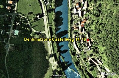
Denkmalzone Castellweg 14-16
Wayside Shrines and Stations of the Cross
Schaftkreuz von 1733
Viewpoints
Aussichtspunkt Castellberg
 490 m
Observation Towers
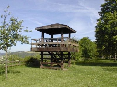
Aussichtsturm am Sportplatz
Cremation Graves
Römische Gräber
Road Transport
Steinerne Brückenreste
Fortresses and Bunkers