Street Names · Historicism / Art Nouveau
Alte Darscheider Straße


© GeoBasis-DE / LVermGeoRP, dl-de/by-2-0
There is no picture of this object yet. Do you have a photo that you would like to make available to the Kulturdatenbank? Submit a picture
Description
This description is only available in German.
Translate with Google opens this page in Google Translate (external service)
Sie wurde 1880 angelegt und führt am Firmerich vorbei durch herrlichen Baumbestand des Lehwaldes zur 6 Kilometer entfernten Gemeinde Darscheid. Dieser Weg, auch Langfuhr genannt, war früher der einzige Verbindungsweg von Daun nach Darscheid.
Classification
- Subject area
- History
- Category
- Place Names / Local History
- Object type
- Street Names
- Date
- 1880
Location
- District
- Vulkaneifel
- Town
- Daun
- Street
- Alte Darscheider Straße
- Field name
- Ortslage
- Coordinates
- WGS 84: 50.196125, 6.837219 (Position: exact) WGS 84: 50° 11′ 46.1″ N, 6° 50′ 14.0″ E UTM 32 (ETRS89): E 345638 · N 5562676
Sources
Data sources
- Alois Mayer, Daun-Pützborn, aus dem Buch "Wie schön bist Du - mein Daun", Herausgegeben vom Eifelverein Daun 1988
On the internet
Last edited: 10 Aug 2006 Object ID: 11397
https://kulturdb.de/en/objekt/11397-daun-alte-darscheider-strasse
Nearby
The nearest objects
Street Names
Brühlstraße
Field Names
Rosengarten
Street Names
Mehrener Straße
Field Names
Lohpesch
 210 m
Street Names
Zum Hotzendrees
Railways
Ehemaliges DB-Stellwerk Daun
 250 m
Railways
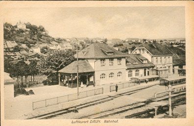
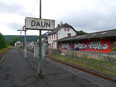
Ehemaliger Bahnhof Daun
 250 m
Railways