Chapels · 20th Century
Kapelle der heiligen Maria


© GeoBasis-DE / LVermGeoRP, dl-de/by-2-0
There is no picture of this object yet. Do you have a photo that you would like to make available to the Kulturdatenbank? Submit a picture
Description
This description is only available in German.
Translate with Google opens this page in Google Translate (external service)
Am Ortsrand, in der Nähe des Soldatenfriedhofs steht die Marienkapelle.
[...]
Ende Februar / Anfang März 1945, setzte der 2. Weltkrieg zur finalen Schlacht an. der Krieg tobte über die Schneifelhöhen. Ormont lag unter starkem Beschuss der amerikanischen Truppen. In ihrer Not gelobten die Ormonter Bevölkerung und ihr Pfarrer Nikolaus Scherf, im Falle ihrer Rettung eine Kapelle zu bauen und sie der Gottesmutter zu weihen.
[...]
Am 7. Oktober 1952, dem Rosenkranzfest, wurde die Marienkapelle benediziert. [1]
Classification
- Subject area
- Architectural and Art Monuments
- Category
- Religious Buildings
- Object type
- Chapels
- Date
- 1952
- Period
- 20th Century
Location
- District
- Vulkaneifel
- Collective municipality
- Gerolstein
- Municipality
- Ormont
- Street
- Waldstraße 5
- Field name
- Auf Bannberg
- Coordinates
- WGS 84: 50.324585, 6.444888 (Position: exact) WGS 84: 50° 19′ 28.5″ N, 6° 26′ 41.6″ E UTM 32 (ETRS89): E 318130 · N 5577843
Sources
Data sources
- [1] Rund um die Kirche im Dorf - Kirchen und Kapellen der Westeifel. Hrsg. Geschichtsverein Prümer Land, Prüm, 2004. ISBN: 3-931478-14-9 http://www.gvpl.de/
On the internet
Last edited: 29 Aug 2006 Object ID: 11478
https://kulturdb.de/en/objekt/11478-ormont-kapelle-der-heiligen-maria
Nearby
The nearest objects
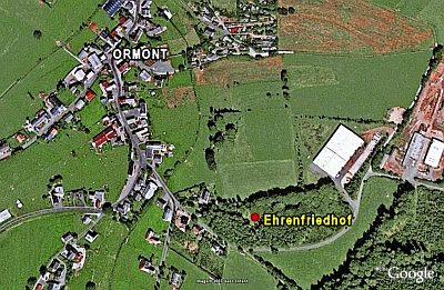 110 m
War Cemeteries
Ehrenfriedhof
Field Names
Rotheck
Wayside Shrines and Stations of the Cross
Wegekreuz
Mills
Ehemalige Mühle
Fortresses and Bunkers
Westwall - Schartenstand
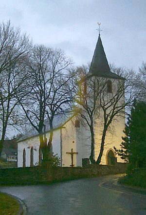 340 m
Catholic Churches
Pfarrkirche Sankt Margaretha
Fortresses and Bunkers
Westwall - Schartenstand
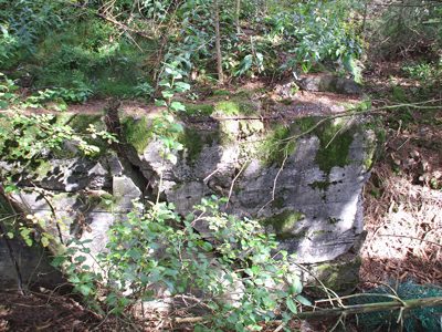 350 m
Fortresses and Bunkers