Mills · Historicism / Art Nouveau
Ehemalige Mühle


© GeoBasis-DE / LVermGeoRP, dl-de/by-2-0
There is no picture of this object yet. Do you have a photo that you would like to make available to the Kulturdatenbank? Submit a picture
Classification
- Subject area
- Architectural and Art Monuments
- Object type
- Mills
- Date
- 1893
Location
- District
- Vulkaneifel
- Collective municipality
- Gerolstein
- Municipality
- Ormont
- Field name
- Ortslage
- Coordinates
- WGS 84: 50.325138, 6.442542 (Position: exact) WGS 84: 50° 19′ 30.5″ N, 6° 26′ 33.2″ E UTM 32 (ETRS89): E 317965 · N 5577910
Sources
Data sources
- [1] Karte des Deutschen Reiches, 1:100.000, Reichsamt fur Landesaufnahme, Ausgabe von 1893, David Rumsey Historical Map Collection, http://www.davidrumsey.com/
On the internet
Last edited: 9 Dec 2014 Object ID: 35577
https://kulturdb.de/en/objekt/35577-ormont-ehemalige-muehle
Nearby
The nearest objects
No picture
50 m
Wayside Shrines and Stations of the Cross
Wegekreuz
No picture
180 m
Chapels
Kapelle der heiligen Maria
No picture
200 m
Wayside Shrines and Stations of the Cross
Wegekreuz
No picture
200 m
Fortresses and Bunkers
Westwall - Doppelschartenstand
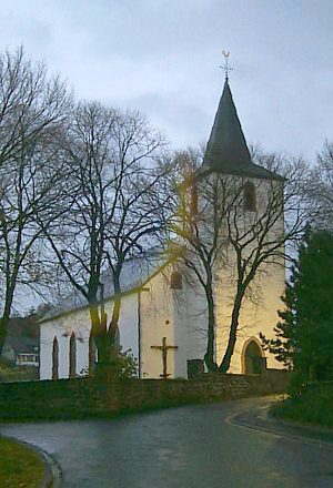 260 m
Catholic Churches
Pfarrkirche Sankt Margaretha
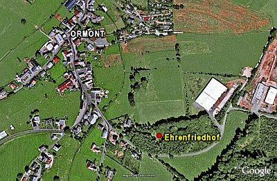 280 m
War Cemeteries
Ehrenfriedhof
 290 m
Coats of Arms
Wappen der Gemeinde Ormont
290 m
Place Names / Local History