Farmhouses and Farm Buildings · Neoclassicism
Wohnhaus
- Listed monument


© GeoBasis-DE / LVermGeoRP, dl-de/by-2-0
There is no picture of this object yet. Do you have a photo that you would like to make available to the Kulturdatenbank? Submit a picture
Description
This description is only available in German.
Translate with Google opens this page in Google Translate (external service)
Das breitgiebelige Wohnhaus ist in der zweiten Hälfte des 18. Jahrhundert errichtet worden. Im 19. Jahrhundert wurde es umgebaut und erschließt nun den rückwärtig angebauten Stall.
Classification
- Subject area
- Architectural and Art Monuments
- Category
- Residential and Farm Buildings
- Object type
- Farmhouses and Farm Buildings
- Date
- Zweite Hälfte des 18. Jahrhunderts
- Period
- Neoclassicism
Location
- District
- Eifelkreis Bitburg-Prüm
- Collective municipality
- Bitburger Land
- Municipality
- Hüttingen an der Kyll
- Street
- Hauptstraße 5
- Field name
- Ortslage
- Coordinates
- WGS 84: 49.968882, 6.586979 (Position: exact) WGS 84: 49° 58′ 08.0″ N, 6° 35′ 13.1″ E UTM 32 (ETRS89): E 326963 · N 5537962
Sources
Data sources
- Homepage der Initiative Region Trier e.V. Sehen & Erleben - Bau-Denkmäler http://www.regiontrier.de/cgi/bin
On the internet
Last edited: 12 Sep 2006 Object ID: 11525
https://kulturdb.de/en/objekt/11525-huettingen-an-der-kyll-wohnhaus
Nearby
The nearest objects
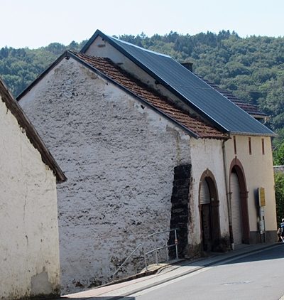 20 m
Farmhouses and Farm Buildings
Zwei Scheunen
Burial Sites
Grabkreuz von 1785 als Wegekreuz
Farmhouses and Farm Buildings
Hofanlage
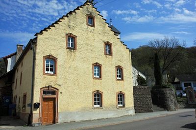 40 m
Farmhouses and Farm Buildings
Treppengiebelhaus
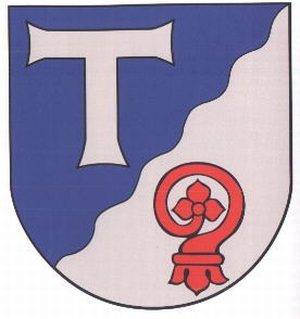 50 m
Place Names / Local History
Ortsgeschichte Hüttingen an der Kyll
50 m
Coats of Arms
Wappen der Gemeinde Hüttingen an der Kyll
Mills
Ehemalige Hüttinger Mühle
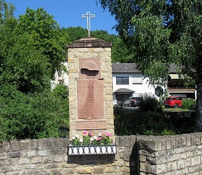 60 m
War Memorials