Burial Sites · Neoclassicism
Grabkreuz von 1785 als Wegekreuz
- Listed monument


© GeoBasis-DE / LVermGeoRP, dl-de/by-2-0
There is no picture of this object yet. Do you have a photo that you would like to make available to the Kulturdatenbank? Submit a picture
Description
This description is only available in German.
Translate with Google opens this page in Google Translate (external service)
Das jetzt vor einer Gartenmauer stehende Grabkreuz von 1785 wurde vermutlich vom Friedhof hierher versetzt . Die Inschriftplatte und das Aufsatzkreuz sind mit Festons versehen, das Kreuz außerdem mit einem Herzen.
Classification
- Subject area
- Architectural and Art Monuments
- Category
- Religious Buildings
- Object type
- Burial Sites
- Date
- 1785
- Period
- Neoclassicism
Location
- District
- Eifelkreis Bitburg-Prüm
- Collective municipality
- Bitburger Land
- Municipality
- Hüttingen an der Kyll
- Street
- Mettericher Straße 3
- Field name
- Ortslage
- Coordinates
- WGS 84: 49.969072, 6.586689 (Position: exact) WGS 84: 49° 58′ 08.7″ N, 6° 35′ 12.1″ E UTM 32 (ETRS89): E 326943 · N 5537983
Sources
Data sources
- Homepage der Initiative Region Trier e.V. Sehen & Erleben - Bau-Denkmäler http://www.regiontrier.de/cgi/bin
On the internet
Last edited: 17 Sep 2006 Object ID: 11528
https://kulturdb.de/en/objekt/11528-huettingen-an-der-kyll-grabkreuz-von-1785-als-wegekreuz
Nearby
The nearest objects
Farmhouses and Farm Buildings
Wohnhaus
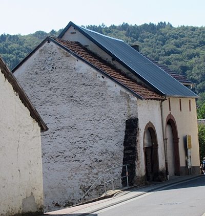 30 m
Farmhouses and Farm Buildings
Zwei Scheunen
 30 m
Place Names / Local History
Ortsgeschichte Hüttingen an der Kyll
30 m
Coats of Arms
Wappen der Gemeinde Hüttingen an der Kyll
Wayside Shrines and Stations of the Cross
Wegekreuzfragment
Farmhouses and Farm Buildings
Hofanlage
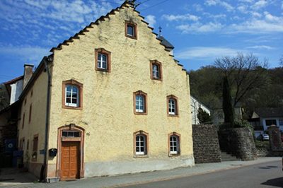 70 m
Farmhouses and Farm Buildings
Treppengiebelhaus
 70 m
Field Names