Place Names / Local History · Celtic / Roman Period
Ortsgeschichte Hüttingen an der Kyll


Description
This description is only available in German.
Translate with Google opens this page in Google Translate (external service)
Dem Bahnbau im Jahre 1870 fiel eine frühchristliche Siedlungsstätte, Keramik des 2. Jahrhunderts, Flur In den Brücken, zum Opfer. Im Jahre 844 tauscht Graf Sigard seinen Besitz in der Villa Uttingon mit dem Kloster Prüm. Bis zur französischen Zeit gehörte der Ort zur Herrschaft Seinsfeld, Herzogtum Luxemburg.
Classification
- Subject area
- History
- Category
- Place Names / Local History
- Date
- Circa 500 vor Chr. bis circa 500 nach Chr.
- Period
- Celtic / Roman Period
Location
- District
- Eifelkreis Bitburg-Prüm
- Collective municipality
- Bitburger Land
- Municipality
- Hüttingen an der Kyll
- Field name
- Ortslage
- Coordinates
- WGS 84: 49.968976, 6.586227 (Position: within the village) WGS 84: 49° 58′ 08.3″ N, 6° 35′ 10.4″ E UTM 32 (ETRS89): E 326909 · N 5537974
Sources
Data sources
- © 1998 by ICTeam Internet Consulting GmbH and Silyn-Tek
On the internet
de.wikipedia.org/wiki/H%C3%BCttingen_an_der_Kyll
Picture credits
Last edited: 25 Aug 2012 Object ID: 1622
https://kulturdb.de/en/objekt/1622-huettingen-an-der-kyll-ortsgeschichte-huettingen-an-der-kyll
Nearby
The nearest objects
 less than 10 m
Coats of Arms
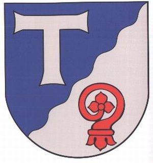
Wappen der Gemeinde Hüttingen an der Kyll
Wayside Shrines and Stations of the Cross
Wegekreuzfragment
Burial Sites
Grabkreuz von 1785 als Wegekreuz
 50 m
Farmhouses and Farm Buildings
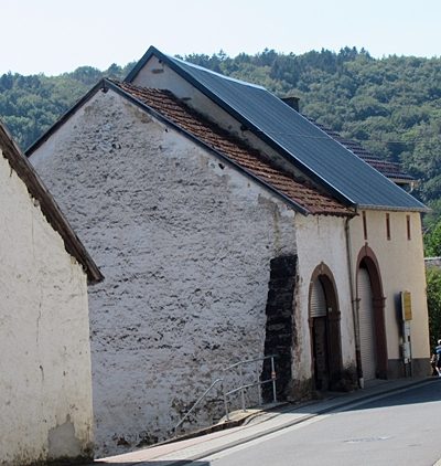
Zwei Scheunen
Farmhouses and Farm Buildings
Wohnhaus
 60 m
Field Names
Im Beiengarten
Farmhouses and Farm Buildings
Hofanlage
Field Names