Place Names / Local History · Neoclassicism
Hardt


Description
This description is only available in German.
Translate with Google opens this page in Google Translate (external service)
Die 1833 gegründeten Steinich, Hanert und Hardt entwickelten sich rasch zu blühenden Gehöftegruppen. [1]
Classification
- Subject area
- History
- Category
- Place Names / Local History
- Date
- 1833
- Period
- Neoclassicism
Location
- District
- Vulkaneifel
- Collective municipality
- Gerolstein
- Municipality
- Mürlenbach
- Locality / location
- Hardt
- Field name
- Ortslage
- Coordinates
- WGS 84: 50.159259, 6.594879 (Position: exact) WGS 84: 50° 09′ 33.3″ N, 6° 35′ 41.6″ E UTM 32 (ETRS89): E 328211 · N 5559107
Sources
Data sources
- [1] Geschichtliches aus Mürlenbach von Ernst Becker
On the internet
Picture credits
- Picture 1: © Sandra Wack, Neuheilenbach, 2017. www.koerbchen-gesucht.de
- Picture 2: © Sandra Wack, Neuheilenbach, 2017. www.koerbchen-gesucht.de
- Picture 3: © Sandra Wack, Neuheilenbach, 2017. www.koerbchen-gesucht.de
- Picture 4: © Sandra Wack, Neuheilenbach, 2017. www.koerbchen-gesucht.de
- Picture 5: © Sandra Wack, Neuheilenbach, 2017. www.koerbchen-gesucht.de
Last edited: 12 Nov 2017 Object ID: 13408
https://kulturdb.de/en/objekt/13408-muerlenbach-hardt
Nearby
The nearest objects
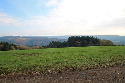 450 m
Field Names
Bei der Steinkaul
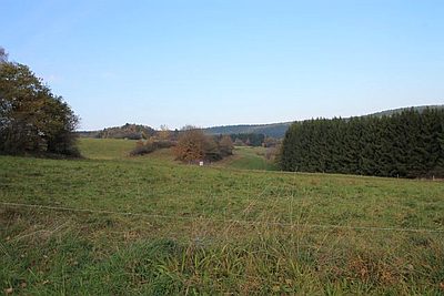 480 m
Field Names
Auf der Steinkaul
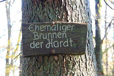 650 m
Fountains and Wells
Ehemaliger Brunnen der Hardt
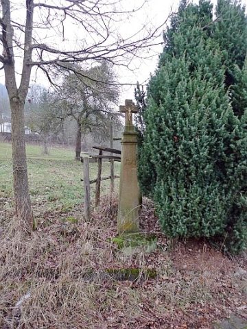 890 m
Wayside Shrines and Stations of the Cross
Schaftkreuz
No picture
960 m
Burial Mounds
Hügelgräber
No picture
980 m
Field Names
Terrestriesch
No picture
990 m
Burial Mounds
Hügelgräber am Dachsberg
No picture
1.1 km
Wayside Shrines and Stations of the Cross