Burial Mounds · Celtic / Roman Period
Hügelgräber
- Listed monument


© GeoBasis-DE / LVermGeoRP, dl-de/by-2-0
There is no picture of this object yet. Do you have a photo that you would like to make available to the Kulturdatenbank? Submit a picture
Classification
- Subject area
- Archaeological Monuments
- Category
- Burials
- Object type
- Burial Mounds
- Date
- Circa 500 vor Chr. bis circa 500 nach Chr.
- Period
- Celtic / Roman Period
Location
- District
- Vulkaneifel
- Collective municipality
- Gerolstein
- Municipality
- Kopp
- Field name
- Über der Straße
- Coordinates
- WGS 84: 50.167003, 6.588873 (Position: exact) WGS 84: 50° 10′ 01.2″ N, 6° 35′ 19.9″ E UTM 32 (ETRS89): E 327810 · N 5559982
Sources
Data sources
- [1] Wanderkarte 1:25.000 Nr. 19 des Eifelvereins "Vulkaneifel um Gerolstein". Hrsg. VG Gerolstein in Zusammenarbeit mit dem Eifelverein e.V. 4. Auflage 1996.
On the internet
Last edited: 16 Feb 2021 Object ID: 5562
https://kulturdb.de/en/objekt/5562-kopp-huegelgraeber
Nearby
The nearest objects
No picture
210 m
Burial Mounds
Hügelgräber am Dachsberg
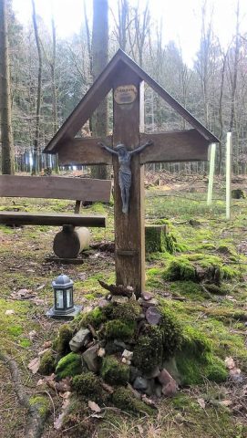 340 m
Wayside Shrines and Stations of the Cross
Schützkreuz
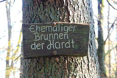 590 m
Fountains and Wells
Ehemaliger Brunnen der Hardt
No picture
730 m
Field Names
Beim Pferdskümpel
 940 m
Place Names / Local History
Ortsgeschichte Kopp (1)
No picture
940 m
Place Names / Local History
Erste Erwähnung von Kopp
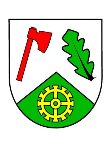 940 m
Coats of Arms
Wappen der Gemeinde Kopp
No picture
990 m
Farmhouses and Farm Buildings