Wayside Shrines and Stations of the Cross · 20th Century
Schützkreuz


Description
This description is only available in German.
Translate with Google opens this page in Google Translate (external service)
Classification
- Subject area
- Architectural and Art Monuments
- Category
- Religious Buildings
- Object type
- Wayside Shrines and Stations of the Cross
- Date
- 1986
- Period
- 20th Century
Location
- District
- Vulkaneifel
- Collective municipality
- Gerolstein
- Municipality
- Kopp
- Field name
- Über der Straße
- Coordinates
- WGS 84: 50.165021, 6.585243 (Position: exact) WGS 84: 50° 09′ 54.1″ N, 6° 35′ 06.9″ E UTM 32 (ETRS89): E 327544 · N 5559770
Sources
Data sources
- [1] Seite „Liste der Kulturdenkmäler in Kopp“. In: Wikipedia, Die freie Enzyklopädie. Bearbeitungsstand: 9. Juli 2018, 08:56 UTC. URL: https://de.wikipedia.org/w/index.php?title=Liste_der_Kulturdenkm%C3… (Abgerufen: 8. März 2019, 10:25 UTC)
- [2] Plakette am Kreuz
On the internet
de.wikipedia.org/wiki/Kopp_(Vulkaneifel)
Picture credits
- Picture 1: © Sandra Wack, Neuheilenbach, 2018. www.koerbchen-gesucht.de
- Picture 2: © Sandra Wack, Neuheilenbach, 2018. www.koerbchen-gesucht.de
- Picture 3: © Sandra Wack, Neuheilenbach, 2018. www.koerbchen-gesucht.de
- Picture 4: © Sandra Wack, Neuheilenbach, 2018. www.koerbchen-gesucht.de
- Picture 5: © Sandra Wack, Neuheilenbach, 2018. www.koerbchen-gesucht.de
Last edited: 8 Mar 2019 Object ID: 5563
https://kulturdb.de/en/objekt/5563-kopp-schuetzkreuz
Nearby
The nearest objects
No picture
340 m
Burial Mounds
Hügelgräber
 370 m
Fountains and Wells
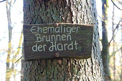
Ehemaliger Brunnen der Hardt
No picture
550 m
Burial Mounds
Hügelgräber am Dachsberg
No picture
650 m
Field Names
Im obersten Bungert
No picture
650 m
Field Names
Auf Pitzenrechen
No picture
720 m
Deserted Settlements
Ehemaliges Hofgut Riependell
No picture
770 m
Field Names
Beim Pferdskümpel
No picture
880 m
Field Names