Wayside Shrines and Stations of the Cross · Renaissance
Schaftkreuz östlich der Ortslage
- Listed monument


Description
This description is only available in German.
Translate with Google opens this page in Google Translate (external service)
[...] an der Straße nach Hofweiler (K 16). Um 1700 gearbeitetes Sandsteinkreuz aus einem mit Wulst und Kehlung gegliedertem Balusterschaft und einem abschließenden Balkenkreuz mit herausgearbeitetem Korpus.
Am Schaft die Inschrift ohne Jahreszahl HOFMAN WILHELM VON ITTEL HAT DIS CREVTZ ZVR EHREN GOTTES LASSEN MACHEN. [1]
Classification
- Subject area
- Architectural and Art Monuments
- Category
- Religious Buildings
- Object type
- Wayside Shrines and Stations of the Cross
- Date
- Um 1700
- Period
- Renaissance
Location
- District
- Trier-Saarburg
- Collective municipality
- Trier-Land
- Municipality
- Welschbillig
- Locality / location
- Ittel
- Field name
- Auf Grundfelder
- Coordinates
- WGS 84: 49.871287, 6.602518 (Position: exact) WGS 84: 49° 52′ 16.6″ N, 6° 36′ 09.1″ E UTM 32 (ETRS89): E 327730 · N 5527076
Sources
Data sources
- [1] Denkmaltopographie Bundesrepublik Deutschland. Kulturdenkmäler in Rheinland-Pfalz. Band 12.2 Kreis Trier-Saarburg. Wernersche Verlagsgesellschaft mbH, Worms. ISBN 3-88462-110-6 (1. Auflage 1994).
On the internet
Picture credits
Last edited: 31 May 2025 Object ID: 13685
https://kulturdb.de/en/objekt/13685-welschbillig-schaftkreuz-oestlich-der-ortslage
Nearby
The nearest objects
Field Names
Auf Grundfelder
Field Names
Schlimmfuhren
 190 m
Surveying
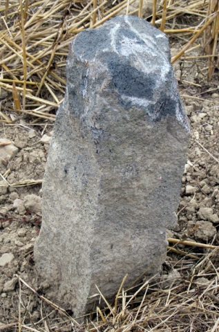
Grenzstein auf Schlimmfuhren
Field Names
Unter der Sauerwiese
Field Names
Sauerwiese auf der Jauch
 380 m
Wayside Shrines and Stations of the Cross
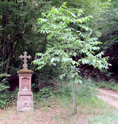
Wegekreuz
Field Names
Auf dem Schadenmorgen
Field Names