Surveying · Undated
Grenzstein auf Schlimmfuhren

Description
This description is only available in German.
Translate with Google opens this page in Google Translate (external service)
Classification
- Subject area
- Architectural and Art Monuments
- Category
- Markers and Monuments
- Object type
- Surveying
- Date
- Undatiert
- Period
- Undated
Location
- District
- Trier-Saarburg
- Collective municipality
- Trier-Land
- Municipality
- Welschbillig
- Locality / location
- Ittel
- Field name
- Schlimmfuhren
- Coordinates
- WGS 84: 49.872765, 6.603788 (Position: exact) WGS 84: 49° 52′ 22.0″ N, 6° 36′ 13.6″ E UTM 32 (ETRS89): E 327826 · N 5527238
Sources
Data sources
- [1] Michael Grün, Trier, 2020.
- [2] Artur Gemmel: Chronik von Schweich. Hrsg. Arbeitsgemeinschaft für Landesgeschichte und Volkskunde des Trierer Raumes in Verbindung mit der Gemeinde und dem Heimatverein Schweich. 1960.
On the internet
Picture credits
- Picture 1: © Michael Grün, Trier, 2020.
Last edited: 25 Aug 2020 Object ID: 49672
https://kulturdb.de/en/objekt/49672-welschbillig-grenzstein-auf-schlimmfuhren
Nearby
The nearest objects
No picture
less than 10 m
Field Names
Schlimmfuhren
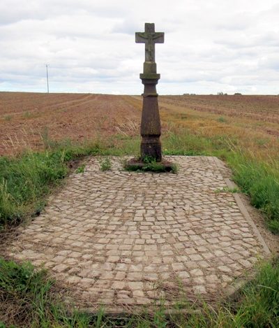 190 m
Wayside Shrines and Stations of the Cross
Schaftkreuz östlich der Ortslage
No picture
320 m
Field Names
Auf Grundfelder
No picture
480 m
Field Names
Im Kyllberg
No picture
480 m
Field Names
Unter der Sauerwiese
No picture
490 m
Field Names
Sauerwiese auf der Jauch
 510 m
Chapels
Sankt Maria Unbefleckte Empfängnis
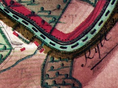 540 m
Mills