Field Names · Undated
Schlimmfuhren


© GeoBasis-DE / LVermGeoRP, dl-de/by-2-0
There is no picture of this object yet. Do you have a photo that you would like to make available to the Kulturdatenbank? Submit a picture
Description
This description is only available in German.
Translate with Google opens this page in Google Translate (external service)
Schlimmfuhr – Deutung: Slimp = nicht gerade; foir = Grenze. [1]
Classification
- Subject area
- History
- Category
- Field Names
- Date
- Undatiert
- Period
- Undated
Location
- District
- Trier-Saarburg
- Collective municipality
- Trier-Land
- Municipality
- Welschbillig
- Locality / location
- Ittel
- Field name
- Schlimmfuhren
- Coordinates
- WGS 84: 49.872765, 6.603788 (Position: exact) WGS 84: 49° 52′ 22.0″ N, 6° 36′ 13.6″ E UTM 32 (ETRS89): E 327826 · N 5527238
Sources
Data sources
- [1] Artur Gemmel: Chronik von Schweich. Hrsg. Arbeitsgemeinschaft für Landesgeschichte und Volkskunde des Trierer Raumes in Verbindung mit der Gemeinde und dem Heimatverein Schweich. 1960.
On the internet
Last edited: 8 Jun 2013 Object ID: 27979
https://kulturdb.de/en/objekt/27979-welschbillig-schlimmfuhren
Nearby
The nearest objects
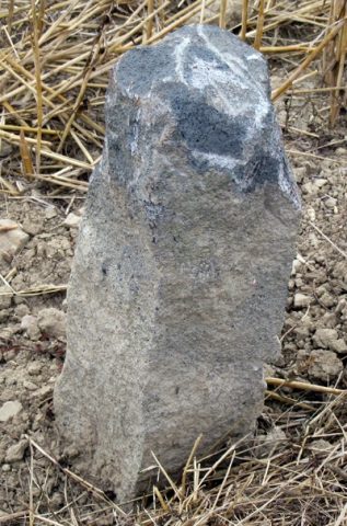 less than 10 m
Surveying
Grenzstein auf Schlimmfuhren
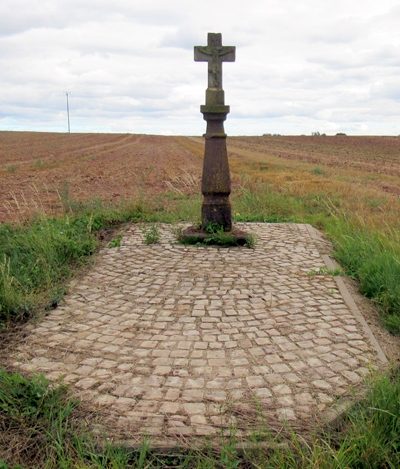 190 m
Wayside Shrines and Stations of the Cross
Schaftkreuz östlich der Ortslage
Field Names
Auf Grundfelder
Field Names
Im Kyllberg
Field Names
Unter der Sauerwiese
Field Names
Sauerwiese auf der Jauch
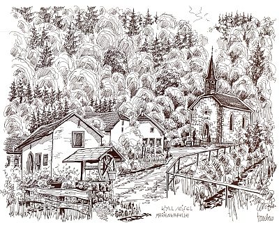 510 m
Chapels
Sankt Maria Unbefleckte Empfängnis
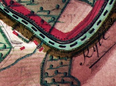 540 m
Mills