Place Names / Local History · Undated
Ortsgeschichte Birresborn


Description
This description is only available in German.
Translate with Google opens this page in Google Translate (external service)
Im Zuge der Christianisierung wurde die Abtei Prüm zum Fürstentum. Am Ostrand dieser Fürstabtei gelegen, galt Birresborn - ursprünglich birgis burias - Guter Born genannt - als eine der ältesten Besitzungen Prüms. Nachdem das Fürstentum Prüm im Jahre 1576 an das Kurfürstentum Trier fiel, wurde im Jahre 1815 der Kreis Prüm ein Teil des Regierungsbezirks Trier. Erst seit der Verwaltungsreform von 1971 ist Birresborn Teil der Verbandsgemeinde Gerolstein im Kreis Daun. [1]
Classification
- Subject area
- History
- Category
- Place Names / Local History
- Date
- Undatiert
- Period
- Undated
Location
- District
- Vulkaneifel
- Collective municipality
- Gerolstein
- Municipality
- Birresborn
- Field name
- Ortslage
- Coordinates
- WGS 84: 50.175229, 6.625105 (Position: within the village) WGS 84: 50° 10′ 30.8″ N, 6° 37′ 30.4″ E UTM 32 (ETRS89): E 330426 · N 5560814
Sources
Data sources
- [1] Eifeler Internet Seiten.
On the internet
Picture credits
- Picture 1: Fredy Lange (undatiert). Sammlung Wilma Herzog, Gerolstein, 2015. © Edith Lange-Löckenhoff.
- Picture 2: Fredy Lange (undatiert). Sammlung Wilma Herzog, Gerolstein, 2015. © Edith Lange-Löckenhoff.
- Picture 3: Fredy Lange (undatiert). Sammlung Wilma Herzog, Gerolstein, 2015. © Edith Lange-Löckenhoff.
Last edited: 19 Oct 2015 Object ID: 1594
https://kulturdb.de/en/objekt/1594-birresborn-ortsgeschichte-birresborn
Nearby
The nearest objects
 less than 10 m
Coats of Arms
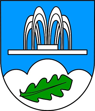
Wappen der Gemeinde Birresborn
 less than 10 m
Mills
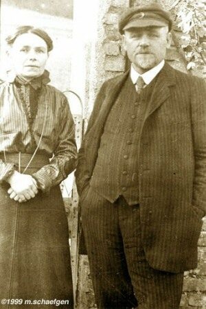
Mühlen im Kylltal
 60 m
Wayside Shrines and Stations of the Cross
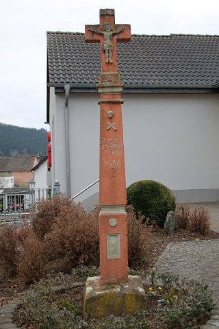
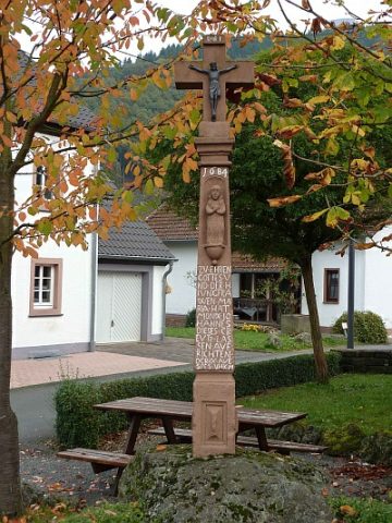
Pestkreuz
Farmhouses and Farm Buildings
Wohnhaus
 80 m
Monuments
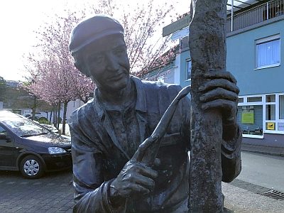
Der Birresborner Louhkneppel
 80 m
Catholic Churches
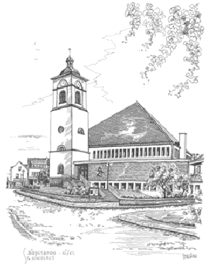
Sankt Nikolaus - Kirchturm
 90 m
Wayside Shrines and Stations of the Cross
Monixkreuz
Wayside Shrines and Stations of the Cross