Wayside Shrines and Stations of the Cross · Renaissance
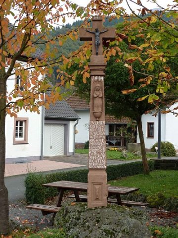
Pestkreuz


Description
This description is only available in German.
Translate with Google opens this page in Google Translate (external service)
Inschrift:
Zv Ehren Gottes errichtet 1686
Grund der Errichtung:
Vermutlich: Im Dorf ist das Kreuz als Pestkreuz bekannt und diese Dorfmeinung ist geschichtlich bestätigt. 1686 war die letzte Pestepidemie im Trierer Land. Sicherlich ist es nach Abklingen der Seuche errichtet worden, als Gedenkstein für die Pesttoten, dies erklärt auch den Totenkopf auf dem Schaftteil. [1]
Classification
- Subject area
- Architectural and Art Monuments
- Category
- Religious Buildings
- Object type
- Wayside Shrines and Stations of the Cross
- Date
- 1686
- Period
- Renaissance
Location
- District
- Vulkaneifel
- Collective municipality
- Gerolstein
- Municipality
- Birresborn
- Street
- Bei Fischbachstraße 1
- Field name
- Ortslage
- Coordinates
- WGS 84: 50.175353, 6.624269 (Position: exact) WGS 84: 50° 10′ 31.3″ N, 6° 37′ 27.4″ E UTM 32 (ETRS89): E 330367 · N 5560829
Sources
Data sources
On the internet
Picture credits
- Picture 1: © Sandra Wack, Neuheilenbach, 2016. www.koerbchen-gesucht.de
- Picture 2: © Sandra Wack, Neuheilenbach, 2016. www.koerbchen-gesucht.de
- Picture 3: © Sandra Wack, Neuheilenbach, 2016. www.koerbchen-gesucht.de
- Picture 4: © Sandra Wack, Neuheilenbach, 2016. www.koerbchen-gesucht.de
- Picture 5: © Sandra Wack, Neuheilenbach, 2016. www.koerbchen-gesucht.de
- Picture 6: © Sandra Wack, Neuheilenbach, 2016. www.koerbchen-gesucht.de
Last edited: 22 Mar 2016 Object ID: 26448
https://kulturdb.de/en/objekt/26448-birresborn-pestkreuz
Nearby
The nearest objects
Farmhouses and Farm Buildings
Hofanlage
 60 m
Monuments
Der Birresborner Louhkneppel
 60 m
Place Names / Local History
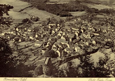
Ortsgeschichte Birresborn
 60 m
Coats of Arms
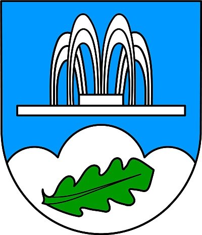
Wappen der Gemeinde Birresborn
 60 m
Mills
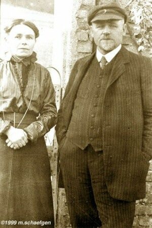
Mühlen im Kylltal
 90 m
Catholic Churches
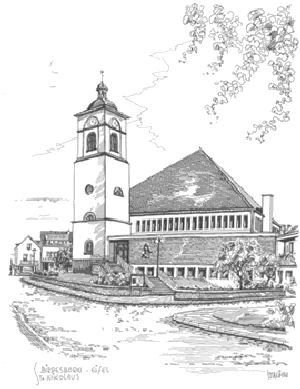
Sankt Nikolaus - Kirchturm
Farmhouses and Farm Buildings
Wohnhaus
 120 m
Wayside Shrines and Stations of the Cross