Farmhouses and Farm Buildings · Historicism / Art Nouveau
Hofanlage
- Listed monument


© GeoBasis-DE / LVermGeoRP, dl-de/by-2-0
There is no picture of this object yet. Do you have a photo that you would like to make available to the Kulturdatenbank? Submit a picture
Description
This description is only available in German.
Translate with Google opens this page in Google Translate (external service)
Wohnhaus mit Kniestock, ehemaliges Altenteil und Backhaus, etwas jünger (?), langgestrecktes Wirtschaftsgebäude. [1]
Classification
- Subject area
- Architectural and Art Monuments
- Category
- Residential and Farm Buildings
- Object type
- Farmhouses and Farm Buildings
- Date
- 19. Jahrhundert
Location
- District
- Vulkaneifel
- Collective municipality
- Gerolstein
- Municipality
- Birresborn
- Street
- Fischbachstraße 6
- Field name
- Ortslage
- Coordinates
- WGS 84: 50.175511, 6.623858 (Position: exact) WGS 84: 50° 10′ 31.8″ N, 6° 37′ 25.9″ E UTM 32 (ETRS89): E 330338 · N 5560848
Sources
Data sources
- [1] Denkmalliste des Landes Rheinland-Pfalz (Stand: 3. Januar 2013).
On the internet
Last edited: 26 Mar 2014 Object ID: 34127
https://kulturdb.de/en/objekt/34127-birresborn-hofanlage
Nearby
The nearest objects
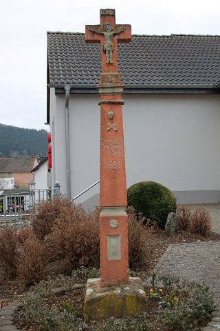 30 m
Wayside Shrines and Stations of the Cross
Pestkreuz
 60 m
Monuments
Der Birresborner Louhkneppel
Field Names
Auf Börkelspesch
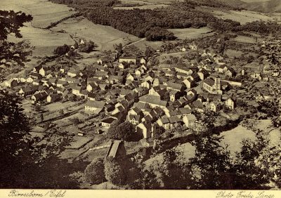 90 m
Place Names / Local History
Ortsgeschichte Birresborn
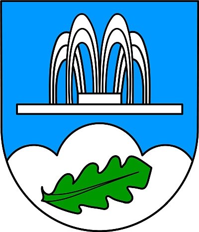 90 m
Coats of Arms
Wappen der Gemeinde Birresborn
 90 m
Mills
Mühlen im Kylltal
 110 m
Catholic Churches
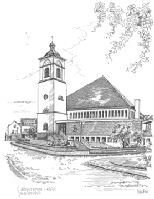
Sankt Nikolaus - Kirchturm
Farmhouses and Farm Buildings