Farmhouses and Farm Buildings · Undated
Ehemaliges Scheunen- und Stallgebäude
- Listed monument


© GeoBasis-DE / LVermGeoRP, dl-de/by-2-0
There is no picture of this object yet. Do you have a photo that you would like to make available to the Kulturdatenbank? Submit a picture
Classification
- Subject area
- Architectural and Art Monuments
- Category
- Residential and Farm Buildings
- Object type
- Farmhouses and Farm Buildings
- Date
- Undatiert
- Period
- Undated
Location
- District
- Vulkaneifel
- Collective municipality
- Gerolstein
- Municipality
- Walsdorf
- Locality / location
- Zilsdorf
- Street
- Auf der Steip 9
- Field name
- Ortslage
- Coordinates
- WGS 84: 50.279429, 6.736433 (Position: exact) WGS 84: 50° 16′ 45.9″ N, 6° 44′ 11.2″ E UTM 32 (ETRS89): E 338727 · N 5572151
Sources
Data sources
- [1] Kreisverwaltung Vulkaneifel, Abteilung 1 - Kommunales und Recht; 2008.
On the internet
Last edited: 7 Oct 2008 Object ID: 16448
https://kulturdb.de/en/objekt/16448-walsdorf-ehemaliges-scheunen-und-stallgebaeude
Nearby
The nearest objects
No picture
80 m
Farmhouses and Farm Buildings
Eifeler Kniestockhaus
 90 m
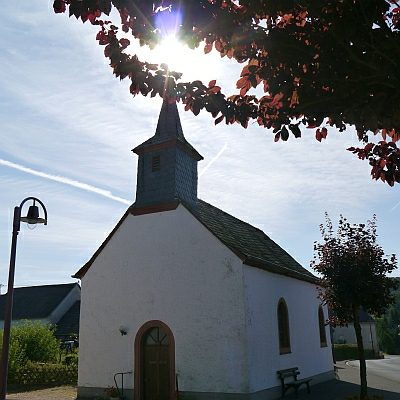
Catholic Churches
Sankt Antonius
 90 m
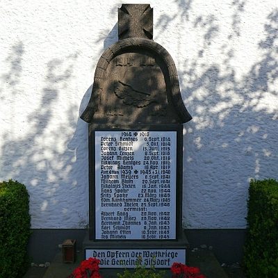
War Memorials
Kriegerehrenmal
 100 m
Lime Trees
Linde an der Schule
No picture
160 m
Field Names
Aufm Kalk oberm Weg
No picture
160 m
Geological Features
Zilsdorf
No picture
160 m
Place Names / Local History
Erste Erwähnung von Zilsdorf
No picture
190 m
Field Names