Field Names · Undated
Aufm Kalk oberm Weg


© GeoBasis-DE / LVermGeoRP, dl-de/by-2-0
There is no picture of this object yet. Do you have a photo that you would like to make available to the Kulturdatenbank? Submit a picture
Description
This description is only available in German.
Translate with Google opens this page in Google Translate (external service)
Kalk: Zu althochdeutsch mittelhochdeutsch kalc starkes Maskulinum ‚Kalk‘, einer Entlehnung aus lateinisch calx. Die Flurnamen verweisen auf Orte, an denen Kalk an die Oberfläche tritt. Bei ausreichender Stärke der Kalkschichten wurde der Kalk in Gruben oder Kauten gebrochen. Die Kalksteine wurden dann in Kalköfen und Kalkreusen durch Ausglühen zu Kalk gebrannt. [1]
Classification
- Subject area
- History
- Category
- Field Names
- Date
- Undatiert
- Period
- Undated
Location
- District
- Vulkaneifel
- Collective municipality
- Gerolstein
- Municipality
- Walsdorf
- Locality / location
- Zilsdorf
- Field name
- Aufm Kalk oberm Weg
- Coordinates
- WGS 84: 50.280447, 6.737969 (Position: exact) WGS 84: 50° 16′ 49.6″ N, 6° 44′ 16.7″ E UTM 32 (ETRS89): E 338839 · N 5572260
Sources
Data sources
- [1] Hessisches Flurnamenarchiv Gießen / Prof. Dr. Hans Ramge http://lagis.online.uni-marburg.de/de/help/info/sn/mhfb?lemma=Kalk
On the internet
Last edited: 22 Jan 2015 Object ID: 36345
https://kulturdb.de/en/objekt/36345-walsdorf-aufm-kalk-oberm-weg
Nearby
The nearest objects
Farmhouses and Farm Buildings
Eifeler Kniestockhaus
Field Names
In der Werth
Mills
Ehemalige Mühle am Altstraßbach
Farmhouses and Farm Buildings
Ehemaliges Scheunen- und Stallgebäude
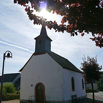 240 m
Catholic Churches
Sankt Antonius
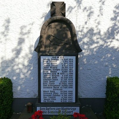 240 m
War Memorials
Kriegerehrenmal
 250 m
Lime Trees
Linde an der Schule
Place Names / Local History