Schools · Undated
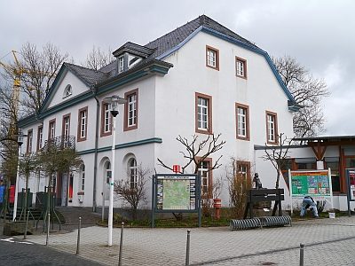
Ehemalige Landwirtschaftsschule
- Listed monument


Classification
- Subject area
- Architectural and Art Monuments
- Category
- Educational Institutions
- Object type
- Schools
- Date
- Undatiert
- Period
- Undated
Location
- District
- Vulkaneifel
- Town
- Daun
- Street
- Rosenbergstraße 6
- Field name
- Ortslage
- Coordinates
- WGS 84: 50.197022, 6.828804 (Position: exact) WGS 84: 50° 11′ 49.3″ N, 6° 49′ 43.7″ E UTM 32 (ETRS89): E 345040 · N 5562793
Sources
Data sources
- [1] Kreisverwaltung Vulkaneifel, Abteilung 1 - Kommunales und Recht; 2008.
On the internet
Picture credits
Last edited: 1 Jan 2011 Object ID: 16562
https://kulturdb.de/en/objekt/16562-daun-ehemalige-landwirtschaftsschule
Nearby
The nearest objects
 70 m
Street Names
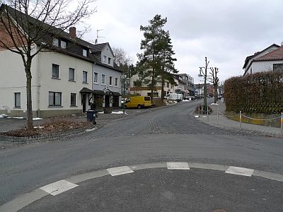
Abt Richard-Straße
 100 m
Town Halls
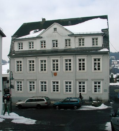
Ehemaliges Bürgermeisteramt
No picture
110 m
Town Houses and Commercial Buildings
Wohnhauszeile
No picture
120 m
Street Names
Bahnhofsweg
 130 m
Place Names / Local History
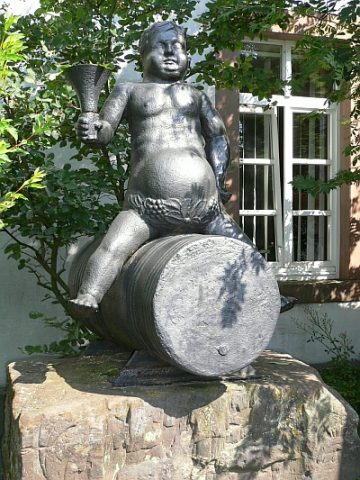
Weingott Bacchus
 140 m
Museums
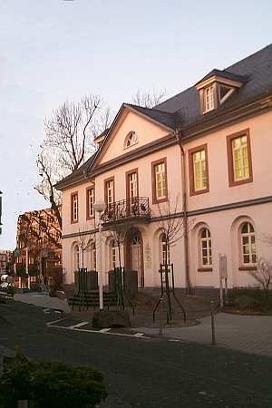
Eifel-Vulkanmuseum im Geozentrum
 150 m
Administrative Buildings
Ehemaliges Landratsamt
 150 m
War Memorials