Wayside Shrine Houses · 20th Century
Heiligenhäuschen - Außen


Description
This description is only available in German.
Translate with Google opens this page in Google Translate (external service)
Classification
- Subject area
- Architectural and Art Monuments
- Category
- Religious Buildings
- Object type
- Wayside Shrine Houses
- Date
- In den 1960er Jahren
- Period
- 20th Century
Location
- District
- Vulkaneifel
- Collective municipality
- Daun
- Municipality
- Hörscheid
- Locality / location
- Birkenhof
- Field name
- Unterm Heiligenhäuschen
- Coordinates
- WGS 84: 50.221926, 6.882400 (Position: exact) WGS 84: 50° 13′ 18.9″ N, 6° 52′ 56.6″ E UTM 32 (ETRS89): E 348944 · N 5565452
Sources
Data sources
- [1] http://de.wikipedia.org/w/index.php?title=H%C3%B6rscheid&oldid=3725…
- [2] Sandra Wack, Neuheilenbach, 2021. www.koerbchen-gesucht.de
On the internet
de.wikipedia.org/wiki/H%C3%B6rscheid
Picture credits
- Picture 1: © Friedbert Wißkirchen, Daun, 2013.
- Picture 2: © Friedbert Wißkirchen, Daun, 2013.
- Picture 3: sr-f im Wikipedia-Eintrag zur Gemeinde Hörscheid
- Picture 4: © Sandra Wack, Neuheilenbach, 2021. www.koerbchen-gesucht.de
- Picture 5: © Sandra Wack, Neuheilenbach, 2021. www.koerbchen-gesucht.de
- Picture 6: © Sandra Wack, Neuheilenbach, 2021. www.koerbchen-gesucht.de
Last edited: 21 Jul 2021 Object ID: 16668
https://kulturdb.de/en/objekt/16668-hoerscheid-heiligenhaeuschen-aussen
Nearby
The nearest objects
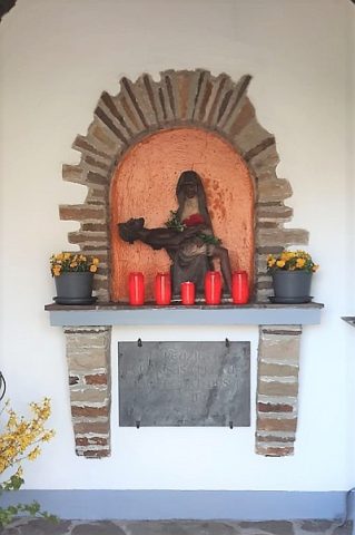 less than 10 m
Wayside Shrine Houses
Heiligenhäuschen - Innen
No picture
120 m
Settlements
Badetrakt einer römischen Villa
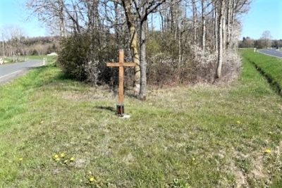 240 m
Wayside Shrines and Stations of the Cross
Wegekreuz
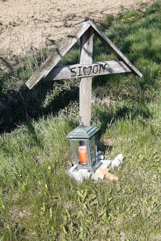 340 m
Wayside Shrines and Stations of the Cross
Wegekreuz
No picture
430 m
Field Names
Roden Mathes
No picture
430 m
Field Names
Rothecker Wiese
No picture
580 m
Field Names
Die Süßwiese
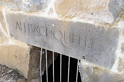 720 m
Springs