Hörscheid
28 heritage sites in Hörscheid in the Kulturdatenbank Region Trier.
The map shows all 28 results.
-
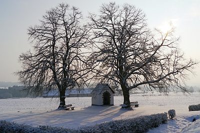
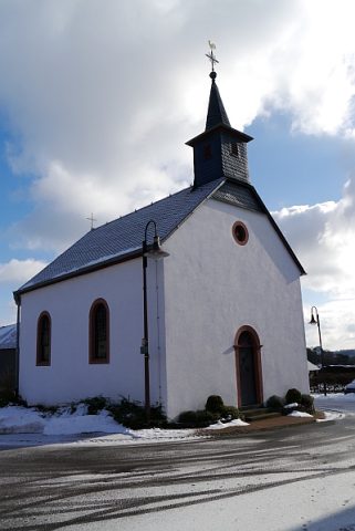
Heiligenhäuschen - Außen
Religious Buildings Wayside Shrine Houses ID 16668
-
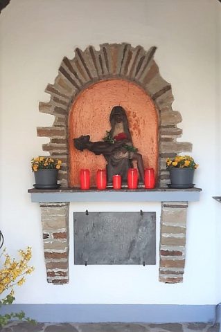
Heiligenhäuschen - Innen
Religious Buildings Wayside Shrine Houses ID 51112
-
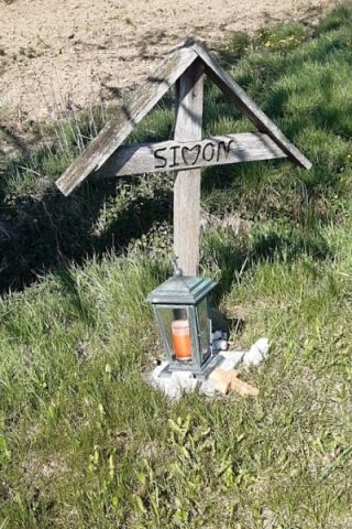
Wegekreuz
Religious Buildings Wayside Shrines and Stations of the Cross ID 26254
-
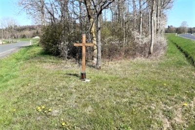
Wegekreuz
Religious Buildings Wayside Shrines and Stations of the Cross ID 51460
-
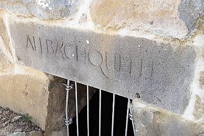
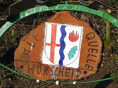
Alfquelle
Springs ID 3889
-
Alte Trift
Field Names ID 28374
-
Aufm Klopp
Field Names ID 38304
-
Aussichtspunkt auf Ehlert
Viewpoints ID 4461
-
Badetrakt einer römischen Villa
Settlements Settlements ID 12666
-
Bungert
Field Names ID 28273
-
Der gebrannte Berg
Field Names ID 42247
-
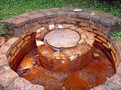
Dorfbrunnen
Springs Mineral Springs ID 39070
-
Geschichte der Gemeinde Hörscheid
Place Names / Local History ID 42248
-
Hasenberg
Field Names ID 53098
-
Hinterm Klopp
Field Names ID 38305
-
Oberm Krummen Weg
Field Names ID 42380
-
Roden Mathes
Field Names ID 43131
-
Rothecker Wiese
Field Names ID 43667
-
Unterm krummen Weg
Field Names ID 42393
-
Vor dem Klopp
Field Names ID 38302
-
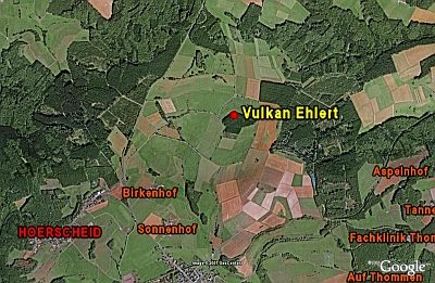
Vulkan Ehlert
Geological Features Volcanoes ID 6680
-
Wappen der Gemeinde Hörscheid
Coats of Arms ID 42246
-
Wegekreuz
Religious Buildings Wayside Shrines and Stations of the Cross ID 26255
-
Die Süßwiese
Field Names ID 48270