Mineral Springs · 20th Century
Dorfbrunnen


© GeoBasis-DE / LVermGeoRP, dl-de/by-2-0
There is no picture of this object yet. Do you have a photo that you would like to make available to the Kulturdatenbank? Submit a picture
Classification
- Subject area
- Natural Features
- Category
- Springs
- Object type
- Mineral Springs
- Date
- 1980
- Period
- 20th Century
Location
- District
- Vulkaneifel
- Collective municipality
- Daun
- Municipality
- Hörscheid
- Street
- Kirchenweg 2
- Field name
- Ortslage
- Coordinates
- WGS 84: 50.217580, 6.873370 (Position: exact) WGS 84: 50° 13′ 03.3″ N, 6° 52′ 24.1″ E UTM 32 (ETRS89): E 348286 · N 5564987
Sources
Data sources
- [1] © OpenStreetMap contributors, 2014 www.openstreetmap.org/copyright
On the internet
de.wikipedia.org/w/index.php?title=H%C3%B6rscheid&oldid=37251567
Last edited: 10 Jun 2015 Object ID: 39070
https://kulturdb.de/en/objekt/39070-hoerscheid-dorfbrunnen
Nearby
The nearest objects
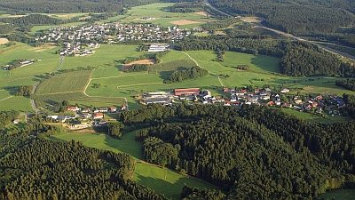 70 m
Place Names / Local History
Geschichte der Gemeinde Hörscheid
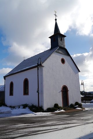 80 m
Catholic Churches
Sankt Brigida
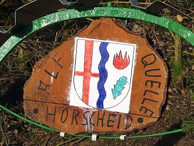 130 m
Coats of Arms
Wappen der Gemeinde Hörscheid
No picture
180 m
Wayside Shrines and Stations of the Cross
Wegekreuz
No picture
220 m
Field Names
Vor dem Klopp
No picture
240 m
Field Names
Aufm Klopp
No picture
320 m
Field Names
Alte Trift
No picture
430 m
Field Names