Mineral Springs · 20th Century
Sauerbrunnen - Darscheider Drees
Naturdenkmal
- Listed monument


Description
This description is only available in German.
Translate with Google opens this page in Google Translate (external service)
Der Brunnen liegt etwas außerhalb des Ortes in Richtung Daun. An der alten Landstraße Darscheid - Daun gibt es ein Hinweisschild. Der Brunnen ist frei zugänglich und hat eine geringe Schüttung. [1]
Classification
- Subject area
- Natural Features
- Category
- Springs
- Object type
- Mineral Springs
- Date
- 16.04.1939 [Unterschutzstellung]
- Period
- 20th Century
Location
- District
- Vulkaneifel
- Collective municipality
- Daun
- Municipality
- Hörscheid
- Field name
- Lehwald
- Coordinates
- WGS 84: 50.207349, 6.874380 (Position: exact) WGS 84: 50° 12′ 26.5″ N, 6° 52′ 27.8″ E UTM 32 (ETRS89): E 348325 · N 5563847
Sources
Data sources
- [1] Bernd Barfues Homepage zum Thema Mineralwasserkrüge bzw. Mineralwasserflaschen http://home.t-online.de/home/mineralwasserkruege/
- [2] Michael Haenel, 2010. http://www.quellenatlas.eu/
On the internet
Picture credits
Last edited: 8 May 2010 Object ID: 3094
https://kulturdb.de/en/objekt/3094-hoerscheid-sauerbrunnen-darscheider-drees
Nearby
The nearest objects
 less than 10 m
Spruces
Fichten am Darscheider Drees
Field Names
Oberm Krummen Weg
Field Names
Unterm krummen Weg
 640 m
Wayside Shrines and Stations of the Cross
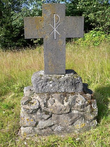
7 Kreuze am Weg von Darscheid nach Mehren (7)
Wayside Shrines and Stations of the Cross
Wegekreuz
 700 m
Wayside Shrines and Stations of the Cross
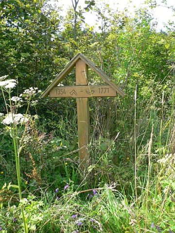
7 Kreuze am Weg von Darscheid nach Mehren (6)
Field Names
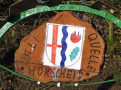
Bungert
 940 m
Field Names