Wayside Shrines and Stations of the Cross · Undated
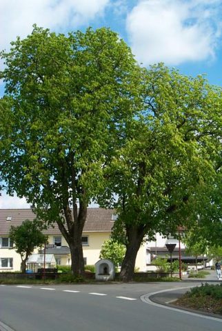
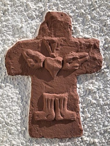
Bildstock unter Rosskastanien


Description
This description is only available in German.
Translate with Google opens this page in Google Translate (external service)
Classification
- Subject area
- Architectural and Art Monuments
- Category
- Religious Buildings
- Object type
- Wayside Shrines and Stations of the Cross
- Date
- Undatiert
- Period
- Undated
Location
- District
- Vulkaneifel
- Collective municipality
- Daun
- Municipality
- Strohn
- Field name
- Ortslage
- Coordinates
- WGS 84: 50.110900, 6.924112 (Position: exact) WGS 84: 50° 06′ 39.2″ N, 6° 55′ 26.8″ E UTM 32 (ETRS89): E 351575 · N 5553025
Sources
Data sources
- [1] Rita Gehendges: Naturdenkmale des Landkreises Daun. 1985. Hrsg.: Landkreis Daun
- [1] Friedbert Wißkirchen, Daun, 2009
On the internet
Picture credits
Last edited: 21 Feb 2012 Object ID: 16674
https://kulturdb.de/en/objekt/16674-strohn-bildstock-unter-rosskastanien
Nearby
The nearest objects
 30 m
Chestnut Trees
Zwei Rosskastanien
 150 m
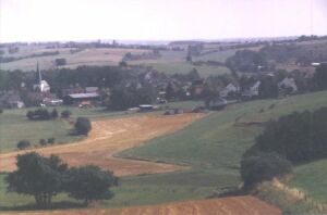
Place Names / Local History
Ortsname / Ortsgeschichte
 150 m
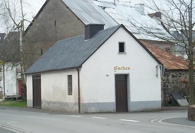
Farmhouses and Farm Buildings
Backes
 150 m
Coats of Arms
Wappen der Gemeinde Strohn
No picture
150 m
Wayside Shrines and Stations of the Cross
Wegekreuz
 230 m
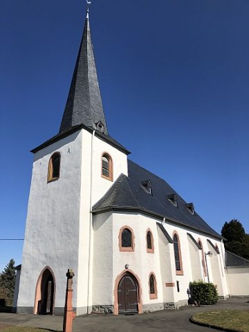
Catholic Churches
Sankt Johannes der Täufer
 230 m
Catholic Churches
Sankt Johannes der Täufer - Friedhofskreuz
 230 m
Museums