Springs · Undated
Quelle der Salm


Description
This description is only available in German.
Translate with Google opens this page in Google Translate (external service)
Die Salm entspringt im Salmwald südlich von Gerolstein bei Salm in der Eifel und mündet beim Weinort Klüsserath in die Mosel. Die Länge beträgt 63,4 km, das Einzugsgebiet hat eine Größe von 298,5 km². Der Flusslauf ist weitgehend natürlich oder naturnah.
In der Antike hieß der Fluss Salmona und wird bei Ausonius erwähnt.[5] Der Name des Flusses leitet sich vermutlich vom Salm, also dem Lachs, ab, der in der Salm bis 1930 ausgezeichnete Laichgewässer hatte und reichlich vorhanden war.
Bei Großlittgen an der Salm liegt das Kloster Himmerod. [1]
Classification
- Subject area
- Natural Features
- Category
- Springs
- Date
- Undatiert
- Period
- Undated
Location
- District
- Vulkaneifel
- Collective municipality
- Gerolstein
- Municipality
- Salm
- Field name
- In der Heckenwies
- Coordinates
- WGS 84: 50.159935, 6.683721 (Position: exact) WGS 84: 50° 09′ 35.8″ N, 6° 41′ 01.4″ E UTM 32 (ETRS89): E 334558 · N 5558982
Sources
Data sources
- [1] Seite „Salm (Mosel)“. In: Wikipedia – Die freie Enzyklopädie. Bearbeitungsstand: 11. Juli 2023, 01:23 UTC. URL: https://de.wikipedia.org/w/index.php?title=Salm_(Mosel)&oldid=23537… (Abgerufen: 27. August 2023, 14:43 UTC)
On the internet
Picture credits
Last edited: 27 Aug 2023 Object ID: 17319
https://kulturdb.de/en/objekt/17319-salm-quelle-der-salm
Nearby
The nearest objects
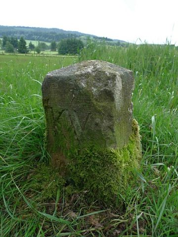 200 m
Surveying
Grenzstein nördlich des Sportplatzes
Field Names
Rechts am Kalkofen
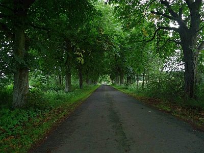 460 m
Chestnut Trees
Kastanienallee am Forsthaus Waldfried
Lime Kilns
Ehemaliger Kalkofen
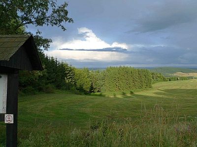 530 m
Viewpoints
Aussichtspunkt Parkplatz Grindelborn
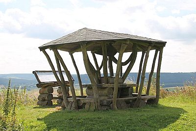 570 m
Viewpoints
Aussichtspunkt nördlich der Ortslage
Field Names
Die Disselborner Wiesen
Field Names