Surveying · Undated
Grenzstein nördlich des Sportplatzes

Description
This description is only available in German.
Translate with Google opens this page in Google Translate (external service)
Stein mit der Inschrift "KW" (Königlicher Wald). Auf der Gemarkungsgrenze zu Gerolstein. [1]
Classification
- Subject area
- Architectural and Art Monuments
- Category
- Markers and Monuments
- Object type
- Surveying
- Date
- Undatiert
- Period
- Undated
Location
- District
- Vulkaneifel
- Collective municipality
- Gerolstein
- Municipality
- Salm
- Field name
- In der Schläf
- Coordinates
- WGS 84: 50.158216, 6.683014 (Position: exact) WGS 84: 50° 09′ 29.6″ N, 6° 40′ 58.9″ E UTM 32 (ETRS89): E 334502 · N 5558792
Sources
Data sources
- [1] Uwe Widera, 54550 Daun, 2009.
On the internet
Picture credits
- Picture 1: © Uwe Widera, 54550 Daun, 2009.
Last edited: 12 Jul 2009 Object ID: 17321
https://kulturdb.de/en/objekt/17321-salm-grenzstein-noerdlich-des-sportplatzes
Nearby
The nearest objects
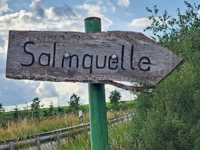 200 m
Springs
Quelle der Salm
No picture
280 m
Field Names
Rechts am Kalkofen
No picture
340 m
Lime Kilns
Ehemaliger Kalkofen
No picture
380 m
Field Names
Die Disselborner Wiesen
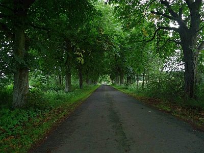 410 m
Chestnut Trees
Kastanienallee am Forsthaus Waldfried
No picture
520 m
Field Names
Beim Kalkofen
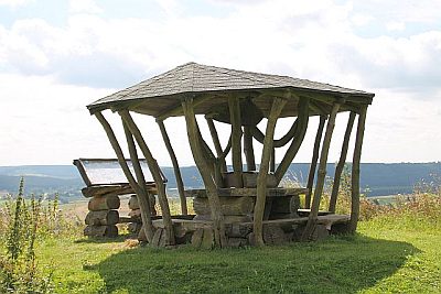 560 m
Viewpoints
Aussichtspunkt nördlich der Ortslage
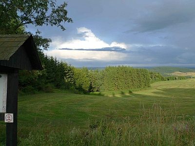 630 m
Viewpoints