Chestnut Trees · Undated
Kastanienallee am Forsthaus Waldfried


Classification
- Subject area
- Natural Features
- Category
- Trees
- Object type
- Chestnut Trees
- Date
- Undatiert
- Period
- Undated
Location
- District
- Vulkaneifel
- Collective municipality
- Gerolstein
- Municipality
- Birresborn
- Locality / location
- Rom
- Field name
- In der Schoenseln
- Coordinates
- WGS 84: 50.159130, 6.677387 (Position: exact) WGS 84: 50° 09′ 32.9″ N, 6° 40′ 38.6″ E UTM 32 (ETRS89): E 334103 · N 5558906
Sources
Data sources
- [1] Uwe Widera, 54550 Daun, 2009.
On the internet
Picture credits
Last edited: 10 Jul 2009 Object ID: 17310
https://kulturdb.de/en/objekt/17310-birresborn-kastanienallee-am-forsthaus-waldfried
Nearby
The nearest objects
No picture
230 m
Lime Kilns
Ehemaliger Kalkofen
No picture
280 m
Place Names / Local History
Ortsgeschichte Rom
No picture
360 m
Field Names
Rechts am Kalkofen
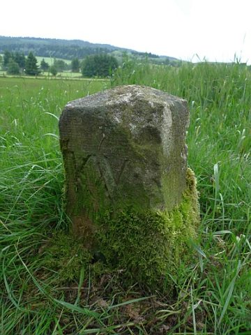 410 m
Surveying
Grenzstein nördlich des Sportplatzes
No picture
420 m
Field Names
Beim Kalkofen
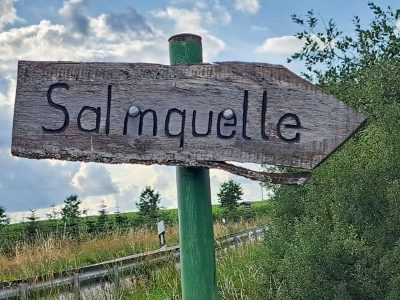 460 m
Springs
Quelle der Salm
No picture
600 m
Field Names
Die Disselborner Wiesen
No picture
630 m
Field Names