Wayside Shrines and Stations of the Cross · 20th Century
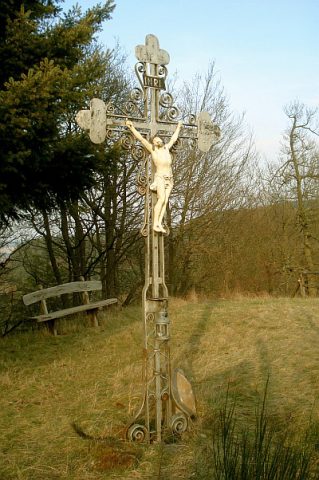
Felsenkreuz Kammerwald


Description
This description is only available in German.
Translate with Google opens this page in Google Translate (external service)
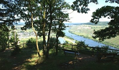
Am Aussichtspunkt Felsenkreuzkanzel. Rastplatz auf Höhenpunkt 323,3 Meter über NHN. [1]
Infoplakette am Kreuz:
Felsenkreuz Kammerwald
Gemeinde Mehring
erstmals errichtet 1952 durch
Revierförster Thelen und
Volksschulhauptlehrer Schabio
erneuert am 10.01.2008
durch Förster Kruse und
Gemeindearbeiter Schömer,
Brand und Reh [2]
Classification
- Subject area
- Architectural and Art Monuments
- Category
- Religious Buildings
- Object type
- Wayside Shrines and Stations of the Cross
- Date
- 1952
- Period
- 20th Century
Location
- District
- Trier-Saarburg
- Collective municipality
- Schweich an der römischen Weinstraße
- Municipality
- Mehring
- Field name
- Kammerwald
- Coordinates
- WGS 84: 49.787782, 6.814295 (Position: exact) WGS 84: 49° 47′ 16.0″ N, 6° 48′ 51.5″ E UTM 32 (ETRS89): E 342675 · N 5517328
Sources
Data sources
- [1] Wanderkarten im Maßstab 1:50.000 und 1:25.000
- [2] Michael Grün, Trier, 2021.
On the internet
Picture credits
Last edited: 10 Jan 2022 Object ID: 17396
https://kulturdb.de/en/objekt/17396-mehring-felsenkreuz-kammerwald
Nearby
The nearest objects
 less than 10 m
Viewpoints
Aussichtspunkt Felsenkreuzkanzel
 480 m
Surveying
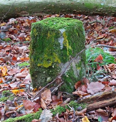
Grenzstein
 480 m
Works of Art
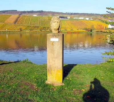
Römische Skulptur "Kopf mit Blütenkranz"
 520 m
Execution Sites
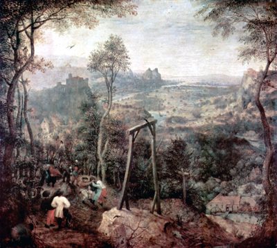
Gewann Hinterm Galgen
 670 m
Wayside Shrines and Stations of the Cross
Wegekreuz
Viewpoints
Aussichtspunkt
 740 m
Chapels
Medarduskapelle im Zellerhof
Vineyard Sites