Wayside Shrines and Stations of the Cross · Renaissance
Wegekreuz


Description
This description is only available in German.
Translate with Google opens this page in Google Translate (external service)
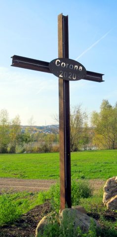
In Richtung Hermeskeil, auf der linken Seite der Autobahn, auf dem höchsten Punkt, kurz vor der Autobahnbrücke, steht dieses Kreuz aus Metall. [1]
Classification
- Subject area
- Architectural and Art Monuments
- Category
- Religious Buildings
- Object type
- Wayside Shrines and Stations of the Cross
- Date
- Zweite Hälfte des 17. Jahrhunderts
- Period
- Renaissance
Location
- District
- Trier-Saarburg
- Collective municipality
- Schweich an der römischen Weinstraße
- Municipality
- Riol
- Field name
- Unterm Riolerweg
- Coordinates
- WGS 84: 49.784003, 6.807099 (Position: exact) WGS 84: 49° 47′ 02.4″ N, 6° 48′ 25.6″ E UTM 32 (ETRS89): E 342145 · N 5516923
Sources
Data sources
- [1] Helmut Bauer, Trier, 2014.
On the internet
Picture credits
Last edited: 25 May 2014 Object ID: 30387
https://kulturdb.de/en/objekt/30387-riol-wegekreuz
Nearby
The nearest objects
Viewpoints
Aussichtspunkt
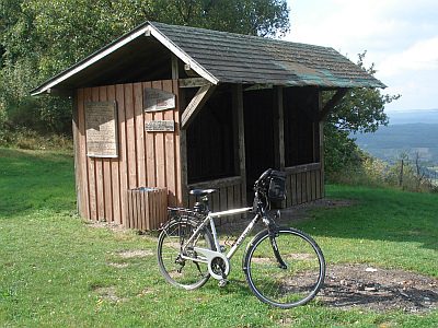 580 m
Viewpoints
Kaster-Hütte
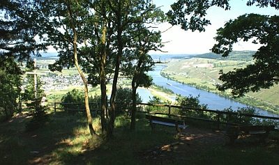 670 m
Viewpoints
Aussichtspunkt Felsenkreuzkanzel
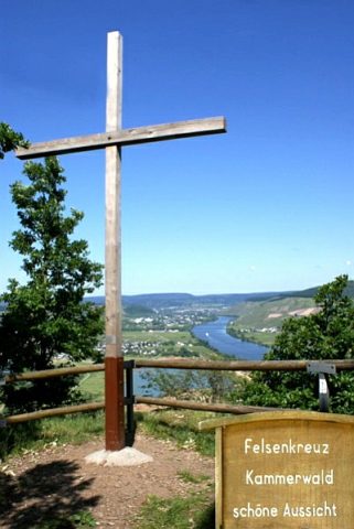 670 m
Wayside Shrines and Stations of the Cross
Felsenkreuz Kammerwald
Field Names
Wolfsfeld
 960 m
Execution Sites
Gewann Hinterm Galgen
 1.1 km
Extraction and Processing of Raw Materials
Ehemaliger Pulverbunker
 1.1 km
Wayside Shrines and Stations of the Cross