Viewpoints · Undated
Aussichtspunkt


© GeoBasis-DE / LVermGeoRP, dl-de/by-2-0
There is no picture of this object yet. Do you have a photo that you would like to make available to the Kulturdatenbank? Submit a picture
Classification
- Subject area
- Natural Features
- Category
- Viewpoints
- Date
- Undatiert
- Period
- Undated
Location
- District
- Trier-Saarburg
- Collective municipality
- Schweich an der römischen Weinstraße
- Municipality
- Riol
- Field name
- In der Molesbach
- Coordinates
- WGS 84: 49.783060, 6.807630 (Position: exact) WGS 84: 49° 46′ 59.0″ N, 6° 48′ 27.5″ E UTM 32 (ETRS89): E 342180 · N 5516817
Sources
Data sources
- [1] © OpenStreetMap contributors, 2014 www.openstreetmap.org/copyright
On the internet
Last edited: 14 Dec 2016 Object ID: 35992
https://kulturdb.de/en/objekt/35992-riol-aussichtspunkt
Nearby
The nearest objects
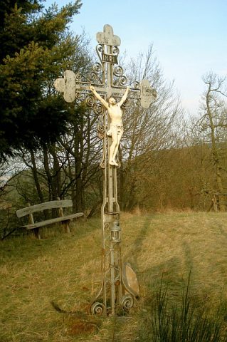 110 m
Wayside Shrines and Stations of the Cross
Wegekreuz
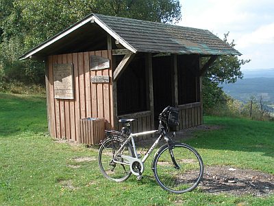 570 m
Viewpoints
Kaster-Hütte
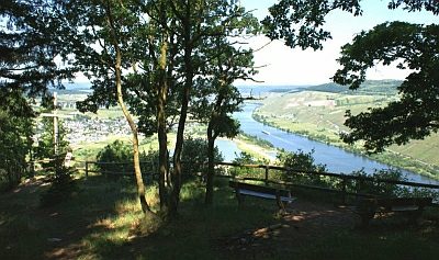 710 m
Viewpoints
Aussichtspunkt Felsenkreuzkanzel
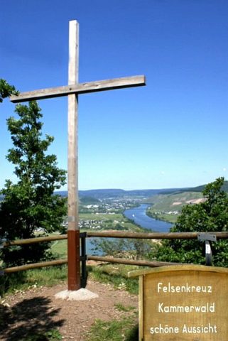 710 m
Wayside Shrines and Stations of the Cross
Felsenkreuz Kammerwald
No picture
720 m
Field Names
Wolfsfeld
 990 m
Extraction and Processing of Raw Materials
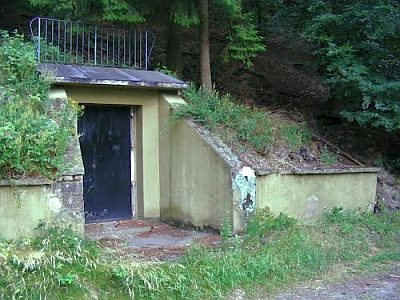
Ehemaliger Pulverbunker
 1.0 km
Execution Sites
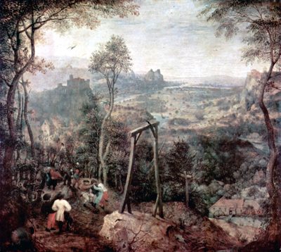
Gewann Hinterm Galgen
No picture
1.1 km
Forest Names