Wayside Shrines and Stations of the Cross · Undated
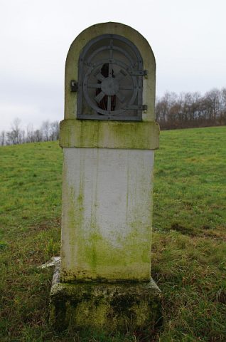
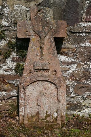
Bildstock südlich der Ortslage


Classification
- Subject area
- Architectural and Art Monuments
- Category
- Religious Buildings
- Object type
- Wayside Shrines and Stations of the Cross
- Date
- Undatiert
- Period
- Undated
Location
- District
- Vulkaneifel
- Collective municipality
- Daun
- Municipality
- Bleckhausen
- Field name
- Radenbacherrechtseit
- Coordinates
- WGS 84: 50.121845, 6.778984 (Position: exact) WGS 84: 50° 07′ 18.6″ N, 6° 46′ 44.3″ E UTM 32 (ETRS89): E 341236 · N 5554540
Sources
Data sources
- [1] Uwe Widera, 54550 Daun, 2009.
On the internet
Picture credits
Last edited: 27 Jul 2014 Object ID: 17556
https://kulturdb.de/en/objekt/17556-bleckhausen-bildstock-suedlich-der-ortslage
Nearby
The nearest objects
 160 m
Wayside Shrines and Stations of the Cross
Bildstock an der Landesstraße 46
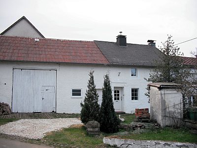 260 m
Farmhouses and Farm Buildings
Quereinhaus
No picture
380 m
Schools
Ehemalige Schule
No picture
450 m
Fountains and Wells
Brunnenhaus
No picture
450 m
Farmhouses and Farm Buildings
Quereinhaus
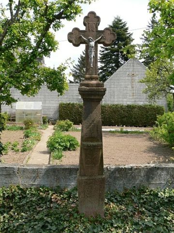 460 m
Wayside Shrines and Stations of the Cross
Sandsteinkreuz
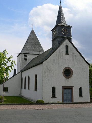 460 m
Catholic Churches
Sankt Antonius
 470 m
Wayside Shrines and Stations of the Cross