Wayside Shrines and Stations of the Cross · Undated
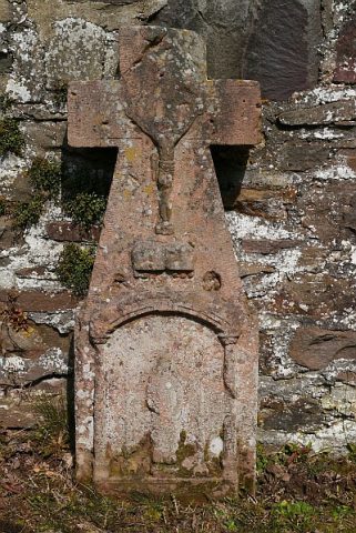
Bildstock an der Landesstraße 46


Description
This description is only available in German.
Translate with Google opens this page in Google Translate (external service)
Auf Höhenpunkt 462,5 Meter über Normal-Null. [1]
Classification
- Subject area
- Architectural and Art Monuments
- Category
- Religious Buildings
- Object type
- Wayside Shrines and Stations of the Cross
- Date
- Undatiert
- Period
- Undated
Location
- District
- Vulkaneifel
- Collective municipality
- Daun
- Municipality
- Bleckhausen
- Field name
- Radenbacherrechtseit
- Coordinates
- WGS 84: 50.120520, 6.779991 (Position: exact) WGS 84: 50° 07′ 13.9″ N, 6° 46′ 48.0″ E UTM 32 (ETRS89): E 341304 · N 5554391
Sources
Data sources
- [1] Uwe Widera, 54550 Daun, 2009.
On the internet
Picture credits
Last edited: 27 Jul 2014 Object ID: 17557
https://kulturdb.de/en/objekt/17557-bleckhausen-bildstock-an-der-landesstrasse-46
Nearby
The nearest objects
 160 m
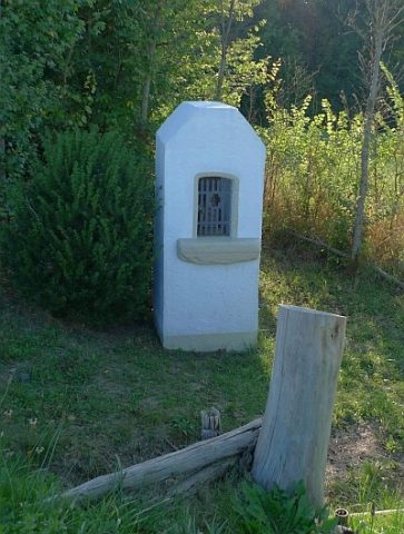
Wayside Shrines and Stations of the Cross
Bildstock südlich der Ortslage
 420 m
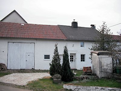
Farmhouses and Farm Buildings
Quereinhaus
Field Names
Wiesloch
Schools
Ehemalige Schule
Fountains and Wells
Brunnenhaus
 620 m
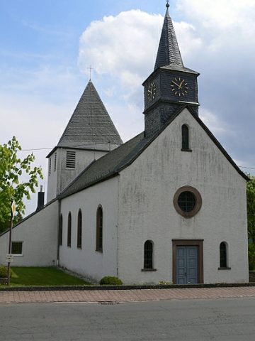
Catholic Churches
Sankt Antonius
 620 m
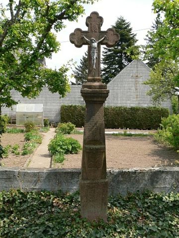
Wayside Shrines and Stations of the Cross
Sandsteinkreuz
 630 m
Wayside Shrines and Stations of the Cross