Wayside Shrines and Stations of the Cross · Renaissance
Wegekreuz am Weg zum Kleinen Noll
- Listed monument


Description
This description is only available in German.
Translate with Google opens this page in Google Translate (external service)
Südöstlich der Ortslage an einem Feldweg zum zum Kleinen Noll. Wegekreuz, Nischenkreuz, bezeichnet 1609 und 1876, umgearbeitet 1935. [1]
Classification
- Subject area
- Architectural and Art Monuments
- Category
- Religious Buildings
- Object type
- Wayside Shrines and Stations of the Cross
- Date
- 1609
- Period
- Renaissance
Location
- District
- Vulkaneifel
- Collective municipality
- Gerolstein
- Municipality
- Densborn
- Locality / location
- Lindenhof
- Field name
- Auf Hummerich
- Coordinates
- WGS 84: 50.116621, 6.618287 (Position: exact) WGS 84: 50° 06′ 59.8″ N, 6° 37′ 05.8″ E UTM 32 (ETRS89): E 329732 · N 5554314
Sources
Data sources
- [1] Denkmalliste der Generaldirektion Kulturelles Erbe, Rheinland-Pfalz; 2009.
On the internet
Picture credits
Last edited: 16 Jan 2010 Object ID: 17661
https://kulturdb.de/en/objekt/17661-densborn-wegekreuz-am-weg-zum-kleinen-noll
Nearby
The nearest objects
Field Names
Am Matzenborn
Field Names
Am Luppesborn
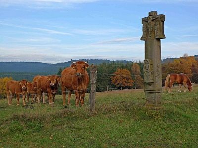 360 m
Wayside Shrines and Stations of the Cross
Kreuzigungsbildstock am Lindenhof (1)
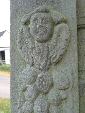 360 m
Wayside Shrines and Stations of the Cross
Kreuzigungsbildstock am Lindenhof (2)
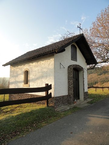 450 m
Chapels
Kapelle am Nollberger Hof
Field Names
Am Wittum
Field Names
In der Weidendell
Field Names