Chapels · Undated
Kapelle am Nollberger Hof


Classification
- Subject area
- Architectural and Art Monuments
- Category
- Religious Buildings
- Object type
- Chapels
- Date
- Undatiert
- Period
- Undated
Location
- District
- Vulkaneifel
- Collective municipality
- Gerolstein
- Municipality
- Densborn
- Locality / location
- Nollbergerhof
- Field name
- Im Brämelberg
- Coordinates
- WGS 84: 50.112600, 6.618780 (Position: exact) WGS 84: 50° 06′ 45.4″ N, 6° 37′ 07.6″ E UTM 32 (ETRS89): E 329752 · N 5553865
Sources
Data sources
- [1] GeoPortal des Landes Rheinland-Pfalz. http://www.geoportal.rlp.de/
On the internet
Picture credits
Last edited: 10 Apr 2013 Object ID: 17664
https://kulturdb.de/en/objekt/17664-densborn-kapelle-am-nollberger-hof
Nearby
The nearest objects
No picture
180 m
Field Names
Am Luppesborn
No picture
300 m
Field Names
In der Weidendell
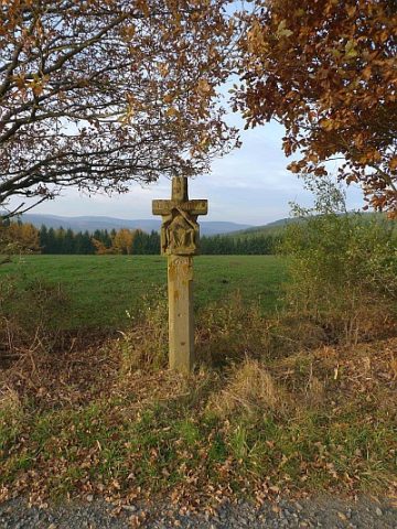 450 m
Wayside Shrines and Stations of the Cross
Wegekreuz am Weg zum Kleinen Noll
No picture
630 m
Field Names
Am Matzenborn
No picture
690 m
Field Names
Aufm Friedbüsch
No picture
770 m
Field Names
Auf der Fölkendell
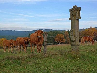 790 m
Wayside Shrines and Stations of the Cross
Kreuzigungsbildstock am Lindenhof (1)
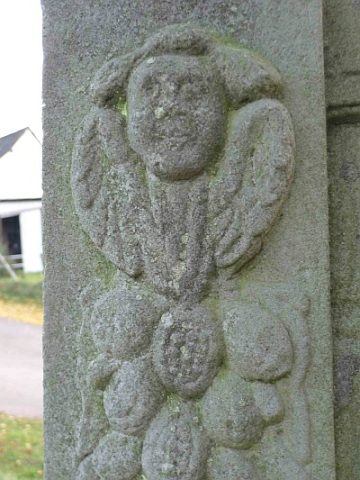 790 m
Wayside Shrines and Stations of the Cross