Wayside Shrines and Stations of the Cross · Renaissance
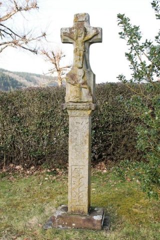
Wegekreuz vor der Kirche
- Listed monument


Description
This description is only available in German.
Translate with Google opens this page in Google Translate (external service)
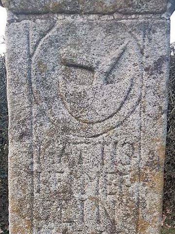
Meisburger Straße an der Abzweigung der Kirchstraße. Wegekreuz, Schaftkreuz, bezeichnet 1633. [1]
Classification
- Subject area
- Architectural and Art Monuments
- Category
- Religious Buildings
- Object type
- Wayside Shrines and Stations of the Cross
- Date
- 1633
- Period
- Renaissance
Location
- District
- Vulkaneifel
- Collective municipality
- Gerolstein
- Municipality
- Densborn
- Street
- Meisburger Straße
- Field name
- Ortslage
- Coordinates
- WGS 84: 50.126172, 6.602180 (Position: exact) WGS 84: 50° 07′ 34.2″ N, 6° 36′ 07.8″ E UTM 32 (ETRS89): E 328614 · N 5555412
Sources
Data sources
- [1] Denkmalliste der Generaldirektion Kulturelles Erbe, Rheinland-Pfalz; 2009.
On the internet
Picture credits
Last edited: 16 Jan 2010 Object ID: 17692
https://kulturdb.de/en/objekt/17692-densborn-wegekreuz-vor-der-kirche
Nearby
The nearest objects
 60 m
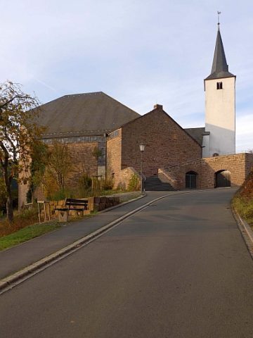
Catholic Churches
Sankt Maria Magdalena
 60 m
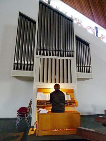
Organs
Sankt Maria Magdalena - Orgel
 70 m
Wayside Shrines and Stations of the Cross
Schaftkreuz von 1633 (1)
 70 m
Wayside Shrines and Stations of the Cross
Schaftkreuz von 1633 (2)
 70 m
Mills
Ehemalige Kappesmühle
 80 m
Burial Sites
Ehemaliges Grabkreuz
 90 m
Place Names / Local History
Ortsgeschichte Densborn
 100 m
War Memorials