War Memorials · 20th Century
Friedhofskreuz


Classification
- Subject area
- Architectural and Art Monuments
- Category
- Markers and Monuments
- Object type
- War Memorials
- Date
- 1935
- Period
- 20th Century
Location
- District
- Vulkaneifel
- Collective municipality
- Gerolstein
- Municipality
- Densborn
- Street
- Kirchstraße
- Field name
- Ortslage
- Coordinates
- WGS 84: 50.127037, 6.601947 (Position: exact) WGS 84: 50° 07′ 37.3″ N, 6° 36′ 07.0″ E UTM 32 (ETRS89): E 328601 · N 5555509
Sources
Data sources
- [1] Uwe Widera, 54550 Daun, 2009.
On the internet
Picture credits
Last edited: 16 Jan 2010 Object ID: 17696
https://kulturdb.de/en/objekt/17696-densborn-friedhofskreuz
Nearby
The nearest objects
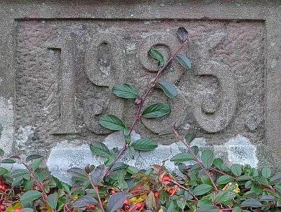 20 m
Burial Sites
Ehemaliges Grabkreuz
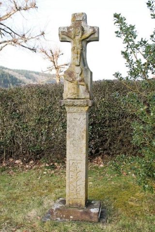 40 m
Wayside Shrines and Stations of the Cross
Schaftkreuz von 1633 (1)
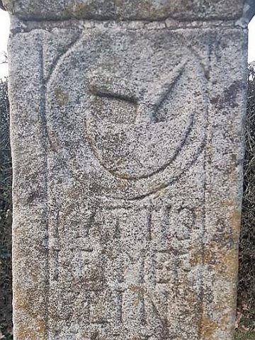 40 m
Wayside Shrines and Stations of the Cross
Schaftkreuz von 1633 (2)
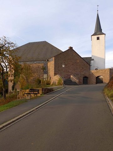 40 m
Catholic Churches
Sankt Maria Magdalena
 40 m
Organs
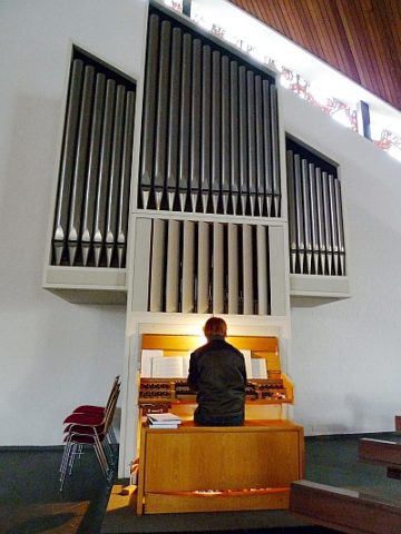
Sankt Maria Magdalena - Orgel
 100 m
Wayside Shrines and Stations of the Cross
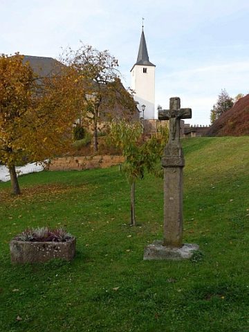
Wegekreuz vor der Kirche
 100 m
Mills
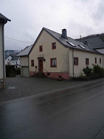
Ehemalige Kappesmühle
 120 m
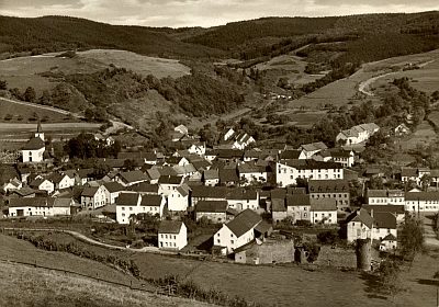
Place Names / Local History