Wayside Shrine Houses · Gothic
Heiligenhäuschen
- Listed monument


Description
This description is only available in German.
Translate with Google opens this page in Google Translate (external service)
Mauerblock, gotischer Blendgiebel. [1]
Classification
- Subject area
- Architectural and Art Monuments
- Category
- Religious Buildings
- Object type
- Wayside Shrine Houses
- Date
- Circa 1100 bis circa 1500
- Period
- Gothic
Location
- District
- Vulkaneifel
- Collective municipality
- Gerolstein
- Municipality
- Oberehe-Stroheich
- Locality / location
- Oberehe
- Street
- Vor Döhmstraße 16
- Field name
- Ortslage
- Coordinates
- WGS 84: 50.277618, 6.768883 (Position: exact) WGS 84: 50° 16′ 39.4″ N, 6° 46′ 08.0″ E UTM 32 (ETRS89): E 341032 · N 5571879
Sources
Data sources
- [1] Denkmalliste der Generaldirektion Kulturelles Erbe, Rheinland-Pfalz; 2010.
On the internet
de.wikipedia.org/wiki/Oberehe-Stroheich
Picture credits
Last edited: 7 Oct 2003 Object ID: 18408
https://kulturdb.de/en/objekt/18408-oberehe-stroheich-heiligenhaeuschen
Nearby
The nearest objects
No picture
90 m
War Memorials
Friedhofskreuz
No picture
230 m
Farmhouses and Farm Buildings
Fachwerkhaus
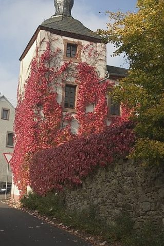 230 m
Castles
Burg Oberehe
No picture
240 m
Chapels
Erste Pfarrkirche
No picture
250 m
Farmhouses and Farm Buildings
Eifeler Kniestockhaus
No picture
260 m
Castles
Ehemalige Nellenburg
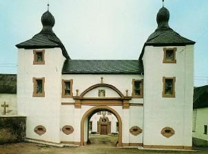 300 m
Place Names / Local History
Ortsgeschichte Oberehe-Stroheich
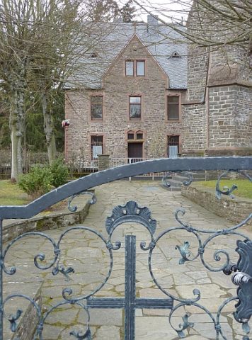 360 m
Rectories