Field Names · Undated
Unter Dalien

Description
This description is only available in German.
Translate with Google opens this page in Google Translate (external service)
Mit 'Dalien' wird eine Lage im oder über dem Tal liegend bezeichnet. [1]
Classification
- Subject area
- History
- Category
- Field Names
- Date
- Undatiert
- Period
- Undated
Location
- District
- Trier-Saarburg
- Collective municipality
- Trier-Land
- Municipality
- Kordel
- Street
- Ehramger Straße
- Field name
- Unter Dalien
- Coordinates
- WGS 84: 49.836386, 6.638028 (Position: exact) WGS 84: 49° 50′ 11.0″ N, 6° 38′ 16.9″ E UTM 32 (ETRS89): E 330159 · N 5523116
Sources
Data sources
- [1] Anton Obser: Kordel. Geschichte der Kylltalgemeinde. Hrsg. Ortsgemeinde Kordel, 1982.
On the internet
Picture credits
- Picture 1: © Peter Valerius, Kordel, 2015.
Last edited: 15 Jul 2020 Object ID: 18604
https://kulturdb.de/en/objekt/18604-kordel-unter-dalien
Nearby
The nearest objects
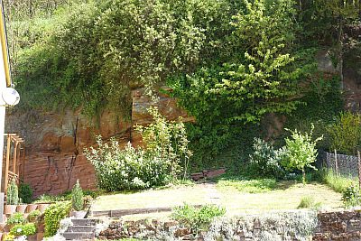 40 m
Geological Features
Mittlerer Buntsandstein
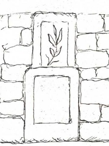 70 m
Wayside Shrines and Stations of the Cross
Ehemaliges Kreuz und Pietà Unter dem Dalien
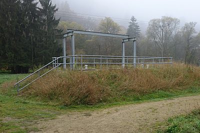 120 m
Fountains and Wells
Brunnen
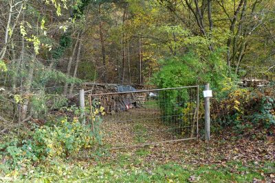 120 m
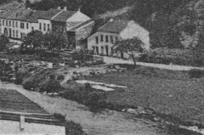
Extraction and Processing of Raw Materials
Ehemalige Sandgrube Kaiser
 150 m
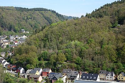
Washing Places
Bleichwiese an der Kyll
 150 m
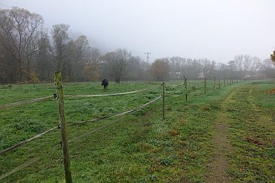
Field Names
Vorn auf dem Dalien
 170 m
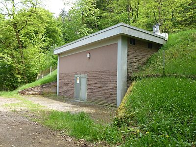
Field Names
Beim Dalienbrunnen
 230 m
Water Supply