Geological Features · Undated
Mittlerer Buntsandstein


Description
This description is only available in German.
Translate with Google opens this page in Google Translate (external service)
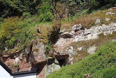
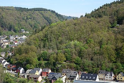
Mittlerer Buntsandstein (Burg-Ramstein-Schichten). Anschnitte hinter den Häusern und Straßenanschnitt im Ortseingang Kordel. [1]
Classification
- Subject area
- Natural Features
- Category
- Geological Features
- Date
- Undatiert
- Period
- Undated
Location
- District
- Trier-Saarburg
- Collective municipality
- Trier-Land
- Municipality
- Kordel
- Street
- Ehranger Straße 26
- Field name
- Unter Dalien
- Coordinates
- WGS 84: 49.836570, 6.638540 (Position: exact) WGS 84: 49° 50′ 11.7″ N, 6° 38′ 18.7″ E UTM 32 (ETRS89): E 330196 · N 5523135
Sources
Data sources
- [1] H. Wolfgang Wagner; Friederike Kremb-Wagner; Martin Koziol; Jörg F. W. Negendank: Trier und Umgebung. (Sammlung geologischer Führer, Band 60). Gebr. Borntraeger, Stuttgart, 2012, 3. völlig neu bearbeitete Auflage. X , 394 Seiten, 170 Abbildungen, 13 Tabellen, 1 Karte. ISBN 978-3-443-15094-5
On the internet
Picture credits
Last edited: 9 May 2016 Object ID: 40893
https://kulturdb.de/en/objekt/40893-kordel-mittlerer-buntsandstein
Nearby
The nearest objects
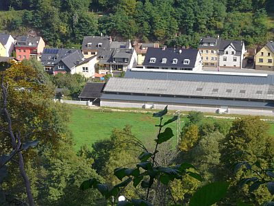 40 m
Field Names
Unter Dalien
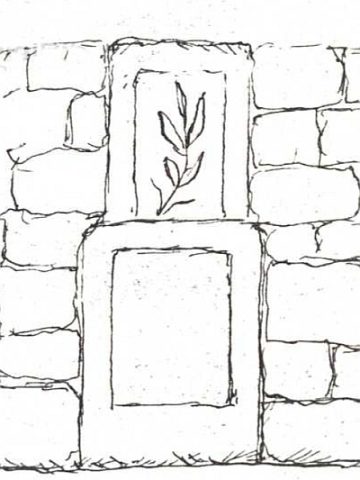 50 m
Wayside Shrines and Stations of the Cross
Ehemaliges Kreuz und Pietà Unter dem Dalien
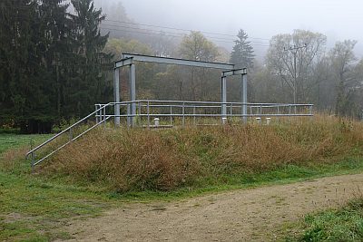 110 m
Fountains and Wells
Brunnen
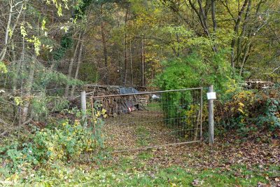 130 m
Extraction and Processing of Raw Materials
Ehemalige Sandgrube Kaiser
 160 m
Geological Features
Mittlerer Buntsandstein
 160 m
Field Names
Vorn auf dem Dalien
 170 m
Field Names
Beim Dalienbrunnen
 220 m
Water Supply