Lime Kilns · Historicism / Art Nouveau
Ehemaliger Kalkofen der Pelmer Kalkwerke


Description
This description is only available in German.
Translate with Google opens this page in Google Translate (external service)
Dieser stand, wo heute (2012) der Fußballplatz ist. Der Schornstein wurde im 2. Weltkrieg gesprengt, weil das Militär befürchtete, dass feindliche Flieger ihn als Fixpunkt nutzen könnten. [1]
Classification
- Subject area
- Architectural and Art Monuments
- Category
- Economy, Trade and Transport
- Object type
- Lime Kilns
- Date
- 1895
Location
- District
- Vulkaneifel
- Collective municipality
- Gerolstein
- Municipality
- Pelm
- Street
- Bahnhofstraße
- Field name
- Im Auel an der Kirch
- Coordinates
- WGS 84: 50.230458, 6.687242 (Position: exact) WGS 84: 50° 13′ 49.6″ N, 6° 41′ 14.1″ E UTM 32 (ETRS89): E 335053 · N 5566814
Sources
Data sources
- [1] Thea Merkelbach, Pelm, 2012.
- [2] Topographische Karten 1:25.000, 1895-1971.
On the internet
Picture credits
Last edited: 28 Aug 2012 Object ID: 19538
https://kulturdb.de/en/objekt/19538-pelm-ehemaliger-kalkofen-der-pelmer-kalkwerke
Nearby
The nearest objects
Field Names
Auf der Kehr
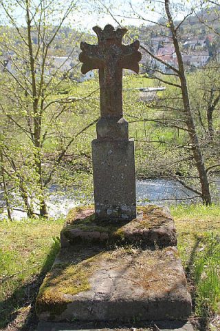 130 m
Wayside Shrines and Stations of the Cross
Wegekreuz
Burial Mounds
Vermutetes Hügelgräberfeld
Field Names
Im Auel an der Kirch
Mills
Ehemalige Landenbergsmühle
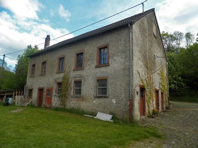 220 m
Mills
Ehemalige Pintenmühle
Town Houses and Commercial Buildings
Massivbau
Field Names