Mills · Neoclassicism
Ehemalige Landenbergsmühle


© GeoBasis-DE / LVermGeoRP, dl-de/by-2-0
There is no picture of this object yet. Do you have a photo that you would like to make available to the Kulturdatenbank? Submit a picture
Description
This description is only available in German.
Translate with Google opens this page in Google Translate (external service)
In und um Pelm sind zehn Mühlen nachweisbar. Unmittelbar an der Kyll lag die Landenbergsmühle an der Brücke zur Kasselburg. Sie soll ihren Betrieb mit der Eröffnung der Bahnlinie Gerolstein-Köln im Jahre 1870 eingestellt haben. [1]
Classification
- Subject area
- Architectural and Art Monuments
- Object type
- Mills
- Date
- 1803
- Period
- Neoclassicism
Location
- District
- Vulkaneifel
- Collective municipality
- Gerolstein
- Municipality
- Pelm
- Field name
- Auf Bannenpesch
- Coordinates
- WGS 84: 50.232090, 6.686760 (Position: exact) WGS 84: 50° 13′ 55.5″ N, 6° 41′ 12.3″ E UTM 32 (ETRS89): E 335024 · N 5566997
Sources
Data sources
- [1] Gerten, Wisniewski, Höster: Die Kyll-Geschichte und Geschichten um einen Eifeler Wasserlauf. Hrsg.: Bernd Spindler, Verbandsgemeinde Kyllburg, Oktober 2006.
- [2] Kartenaufnahme der Rheinlande durch Tranchot und von Müffling (1803-1820).
On the internet
Last edited: 30 Dec 2016 Object ID: 11717
https://kulturdb.de/en/objekt/11717-pelm-ehemalige-landenbergsmuehle
Nearby
The nearest objects
Field Names
Auf Bannenpesch
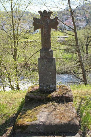 80 m
Wayside Shrines and Stations of the Cross
Wegekreuz
Wayside Shrines and Stations of the Cross
Wegekreuz
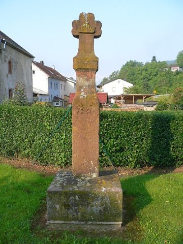 120 m
Wayside Shrines and Stations of the Cross
Sandsteinkreuz
 130 m
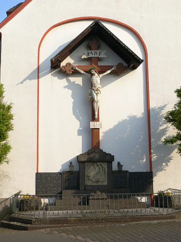
War Memorials
Kriegerdenkmal 1914/18
Fords
Ehemalige Furt durch die Kyll
Field Names
Auf der Kehr
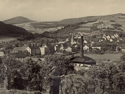 180 m
Lime Kilns