Fords · Historicism / Art Nouveau
Ehemalige Furt durch die Kyll


© GeoBasis-DE / LVermGeoRP, dl-de/by-2-0
There is no picture of this object yet. Do you have a photo that you would like to make available to the Kulturdatenbank? Submit a picture
Classification
- Subject area
- Architectural and Art Monuments
- Category
- Economy, Trade and Transport
- Object type
- Fords
- Date
- 1915
Location
- District
- Vulkaneifel
- Collective municipality
- Gerolstein
- Municipality
- Pelm
- Street
- Hauptstraße
- Field name
- [Kyll]
- Coordinates
- WGS 84: 50.233514, 6.686930 (Position: exact) WGS 84: 50° 14′ 00.7″ N, 6° 41′ 12.9″ E UTM 32 (ETRS89): E 335041 · N 5567154
Sources
Data sources
- [1] Topographische Karte 1:25000 von 1915 https://geo4.service24.rlp.de/client/lf/lawa/
On the internet
Last edited: 10 Jul 2020 Object ID: 49597
https://kulturdb.de/en/objekt/49597-pelm-ehemalige-furt-durch-die-kyll
Nearby
The nearest objects
No picture
90 m
Field Names
Auf Bannenpesch
No picture
110 m
Field Names
Unter den Weiden in den Gemeindewiesen
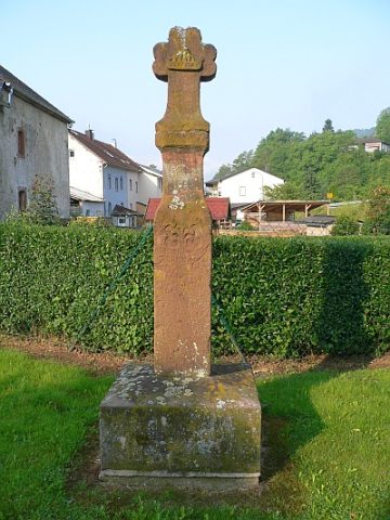 110 m
Wayside Shrines and Stations of the Cross
Sandsteinkreuz
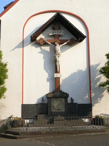 140 m
War Memorials
Kriegerdenkmal 1914/18
No picture
140 m
Wayside Shrines and Stations of the Cross
Wegekreuz
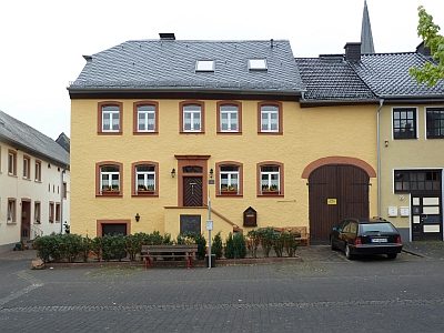 150 m
Farmhouses and Farm Buildings
Wohnhaus
No picture
150 m
Catholic Churches
Sankt Willibrord
No picture
160 m
Mills