Extraction and Processing of Raw Materials · 20th Century
Lavaabbau am Hohen List

Classification
- Subject area
- Architectural and Art Monuments
- Category
- Economy, Trade and Transport
- Object type
- Extraction and Processing of Raw Materials
- Date
- 1957
- Period
- 20th Century
Location
- District
- Vulkaneifel
- Collective municipality
- Daun
- Municipality
- Schalkenmehren
- Field name
- Auf dem Halist
- Coordinates
- WGS 84: 50.163142, 6.846901 (Position: exact) WGS 84: 50° 09′ 47.3″ N, 6° 50′ 48.8″ E UTM 32 (ETRS89): E 346223 · N 5558989
Sources
Data sources
- [1] Topographische Karte von 1957.
On the internet
Picture credits
- Picture 1: © Dr. Frank G. Fetten, Daun, 2010.
Last edited: 19 Dec 2010 Object ID: 19670
https://kulturdb.de/en/objekt/19670-schalkenmehren-lavaabbau-am-hohen-list
Nearby
The nearest objects
No picture
110 m
Volcanoes
Vulkan Hoher List
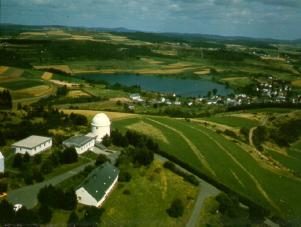 160 m
Observatories
Ehemaliges Observatorium Hoher List
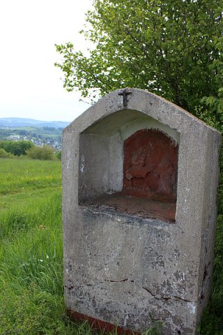 170 m
Wayside Shrine Houses
Heiligenhäuschen unterhalb der Sternwarte
No picture
450 m
Volcanoes
Vulkan Altburg
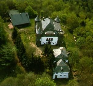 470 m
Deserted Settlements
Wüstung Alteburg
No picture
520 m
Field Names
Gebrannter Büsch
No picture
630 m
Field Names
Die Stierwies
No picture
650 m
Maars