Chapels · Undated
Rochuskapelle
- Listed monument


Classification
- Subject area
- Architectural and Art Monuments
- Category
- Religious Buildings
- Object type
- Chapels
- Date
- Undatiert
- Period
- Undated
Location
- District
- Eifelkreis Bitburg-Prüm
- Collective municipality
- Südeifel
- Municipality
- Holsthum
- Field name
- Ober der Kapell
- Coordinates
- WGS 84: 49.892623, 6.423208 (Position: exact) WGS 84: 49° 53′ 33.4″ N, 6° 25′ 23.5″ E UTM 32 (ETRS89): E 314928 · N 5529876
Sources
On the internet
Picture credits
Last edited: 16 Apr 2002 Object ID: 2116
https://kulturdb.de/en/objekt/2116-holsthum-rochuskapelle
Nearby
The nearest objects
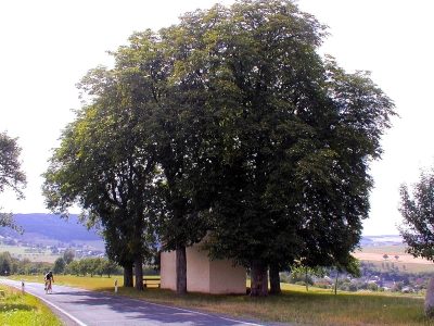 less than 10 m
Chestnut Trees
Rosskastaniengruppe Rochuskapelle
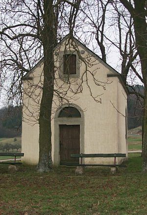 40 m
Viewpoints
Aussichtspunkt Rochuskapelle
No picture
240 m
Field Names
In den nassen Feldern
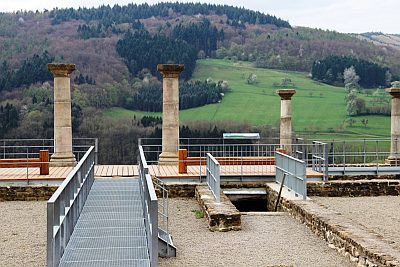 470 m
Settlements
Herrenhaus einer römischen Villa
No picture
480 m
Deserted Settlements
Mühle
No picture
510 m
Field Names
Bei Leitersdellchen
No picture
530 m
Defensive Earthworks and Watchtowers
Abschnittsbefestigung
No picture
650 m
Field Names