Field Names · Undated
In den nassen Feldern


© GeoBasis-DE / LVermGeoRP, dl-de/by-2-0
There is no picture of this object yet. Do you have a photo that you would like to make available to the Kulturdatenbank? Submit a picture
Description
This description is only available in German.
Translate with Google opens this page in Google Translate (external service)
Nass - Zum Adjektiv althochdeutsch naz, mittehochdeutsch naz‚ feucht, nass‘. Namengebend war nasses, morastiges Gelände.
Classification
- Subject area
- History
- Category
- Field Names
- Date
- Undatiert
- Period
- Undated
Location
- District
- Eifelkreis Bitburg-Prüm
- Collective municipality
- Südeifel
- Municipality
- Holsthum
- Field name
- In den nassen Feldern
- Coordinates
- WGS 84: 49.894032, 6.420722 (Position: exact) WGS 84: 49° 53′ 38.5″ N, 6° 25′ 14.6″ E UTM 32 (ETRS89): E 314755 · N 5530039
Sources
Data sources
- © Hessisches Flurnamenarchiv Gießen / Prof. Dr. Hans Ramge. https://www.uni-giessen.de/cms/fbz/fb05/germanistik/forschung/sprac…
On the internet
Last edited: 9 Jan 2015 Object ID: 36057
https://kulturdb.de/en/objekt/36057-holsthum-in-den-nassen-feldern
Nearby
The nearest objects
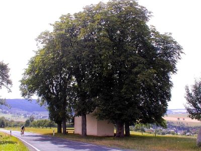 240 m
Chestnut Trees
Rosskastaniengruppe Rochuskapelle
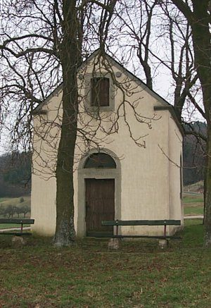 240 m
Chapels
Rochuskapelle
260 m
Viewpoints
Aussichtspunkt Rochuskapelle
Deserted Settlements
Mühle
 370 m
Settlements
Römische Siedlungsstelle
Field Names
Bei Leitersdellchen
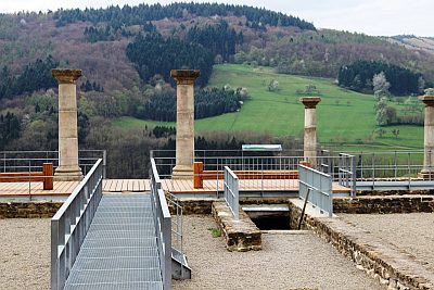 650 m
Settlements
Herrenhaus einer römischen Villa
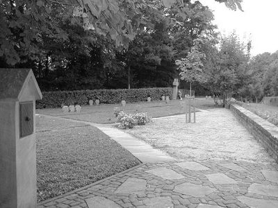 670 m
War Cemeteries