Wayside Shrines and Stations of the Cross · Baroque / Rococo
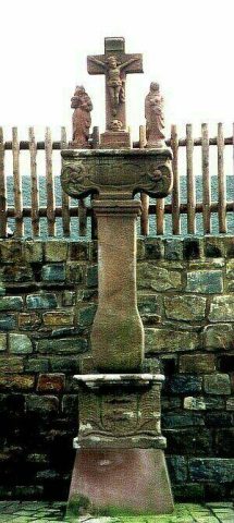
Wegekreuz von 1710
- Listed monument


© GeoBasis-DE / LVermGeoRP, dl-de/by-2-0
There is no picture of this object yet. Do you have a photo that you would like to make available to the Kulturdatenbank? Submit a picture
Description
This description is only available in German.
Translate with Google opens this page in Google Translate (external service)
Nordöstlich der Ortslage an der Straße nach Niederehe: Wegekreuz; Schaftkreuz, Sandstein, bezeichnet 1710. [1]
Classification
- Subject area
- Architectural and Art Monuments
- Category
- Religious Buildings
- Object type
- Wayside Shrines and Stations of the Cross
- Date
- 1710
- Period
- Baroque / Rococo
Location
- District
- Vulkaneifel
- Collective municipality
- Gerolstein
- Municipality
- Kerpen (Eifel)
- Locality / location
- Kerpen
- Field name
- Der Roßberg
- Coordinates
- WGS 84: 50.314598, 6.741379 (Position: exact) WGS 84: 50° 18′ 52.6″ N, 6° 44′ 29.0″ E UTM 32 (ETRS89): E 339198 · N 5576050
Sources
Data sources
- [1] Denkmalliste der Generaldirektion Kulturelles Erbe, Rheinland-Pfalz; 2010.
On the internet
Last edited: 8 Mar 2011 Object ID: 22920
https://kulturdb.de/en/objekt/22920-kerpen-eifel-wegekreuz-von-1710
Nearby
The nearest objects
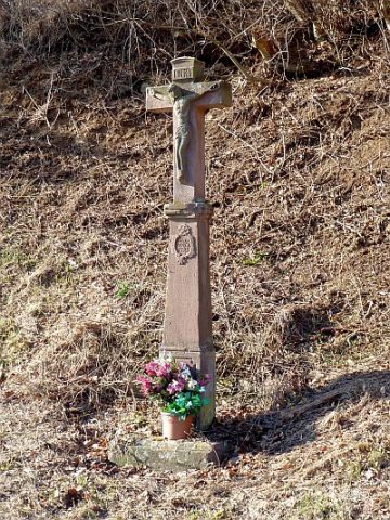 210 m
Wayside Shrines and Stations of the Cross
Sogenanntes Rotes Kreuz
Field Names
In der Muhl
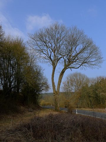 280 m
Maples
Spitzahorn an der Kreistraße 59
Wayside Shrines and Stations of the Cross
Wegekreuz am Nollenbach
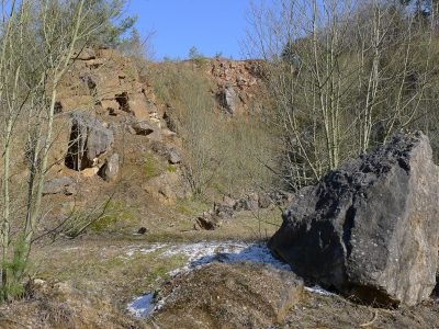 360 m
Geological Features
Marmorbruch Niederehe
Wayside Shrines and Stations of the Cross
Wegekreuz von 1716
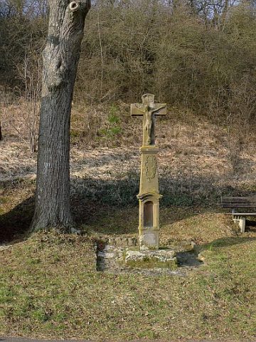 550 m
Wayside Shrines and Stations of the Cross
Gedenkkreuz an der Marienkapelle
 580 m
Wayside Shrines and Stations of the Cross