Wayside Shrines and Stations of the Cross · Neoclassicism
Sogenanntes Rotes Kreuz
- Listed monument


Description
This description is only available in German.
Translate with Google opens this page in Google Translate (external service)
Nordöstlich der Ortslage an der Straße nach Niederehe, nahe der Gemarkungsgrenze: sogenanntes Rotes Kreuz; Schaftkreuz, Sandstein, bezeichnet 1793. [1]
Classification
- Subject area
- Architectural and Art Monuments
- Category
- Religious Buildings
- Object type
- Wayside Shrines and Stations of the Cross
- Date
- 1793
- Period
- Neoclassicism
Location
- District
- Vulkaneifel
- Collective municipality
- Gerolstein
- Municipality
- Kerpen (Eifel)
- Locality / location
- Kerpen
- Field name
- Der Roßberg
- Coordinates
- WGS 84: 50.313164, 6.739527 (Position: exact) WGS 84: 50° 18′ 47.4″ N, 6° 44′ 22.3″ E UTM 32 (ETRS89): E 339061 · N 5575894
Sources
Data sources
- [1] Denkmalliste der Generaldirektion Kulturelles Erbe, Rheinland-Pfalz; 2010.
On the internet
Picture credits
Last edited: 8 Mar 2011 Object ID: 22921
https://kulturdb.de/en/objekt/22921-kerpen-eifel-sogenanntes-rotes-kreuz
Nearby
The nearest objects
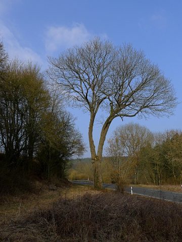 70 m
Maples
Spitzahorn an der Kreistraße 59
Wayside Shrines and Stations of the Cross
Wegekreuz von 1716
Wayside Shrines and Stations of the Cross
Wegekreuz von 1710
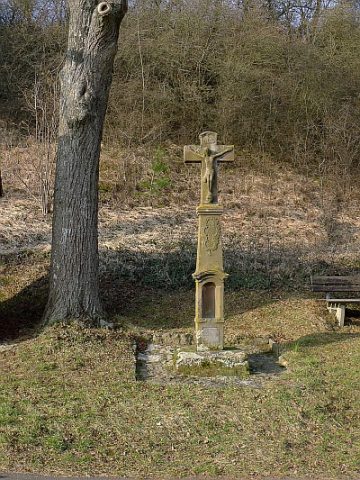 350 m
Wayside Shrines and Stations of the Cross
Gedenkkreuz an der Marienkapelle
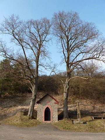 350 m
Lime Trees
Linde beim Kapellchen
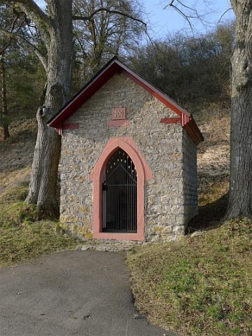 350 m
Chapels
Marienkapelle
360 m
Lime Trees
Linde beim Kapellchen
Field Names